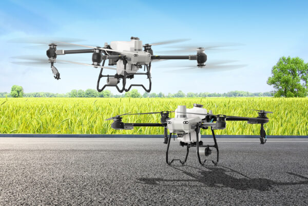
Farming has long been marked by strenuous labor and reliance on traditional, manual methods, and the use of large, heavy machinery for cultivating and monitoring crops. Additionally, assessing the health of crops and identifying potential issues was time-consuming, with a large margin of error that could affect crop yields. As climate change introduces unpredictability, the agriculture industry faces new challenges which can threaten food security.
Precision agriculture, enabled by drones, empowers farmers to make informed decisions, optimize resource use, and enhance overall crop yield. The aerial perspective allows for detailed analysis of crop health, identifying areas of concern such as pest infestations, nutrient deficiencies, or diseases
Introductory Tier – DJI Mavic 3 Enterprise, DJI Terra Ag
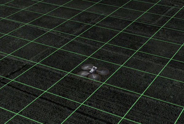
The DJI Mavic 3 Enterprise, part of the introductory tier, brings affordability without compromising performance. Featuring a 4/3 CMOS 20-megapixel camera, a 45-minute maximum flight time, and the DJI O3 Enterprise Transmission transmission system, it retains the essence of the Mavic 3 series. This variant, excluding an additional telephoto lens, ensures accessibility for drone enthusiasts. DJI Terra Ag, a mapping software, enhances its capabilities. With features like model reconstruction, real-time reconstruction, lidar data processing, and detailed inspection, it transforms aerial data into actionable insights. This duo streamlines inspection workflows, making it ideal for beginners venturing into precision agriculture.
Why could this solution be for you?
- Affordability without Compromise: The Mavic 3 Enterprise, part of this tier, offers an affordable yet powerful option for drone enthusiasts. It retains the key features of the Mavic 3 series, including a 4/3 CMOS 20-megapixel camera, 45-minute flight time, and DJI O3 Enterprise Transmission transmission system, making it a budget-friendly entry into precision agriculture.
- Mapping Software for Actionable Insights: Paired with DJI Terra Ag, a mapping software, the M3E transforms aerial data into actionable insights. With features like model reconstruction, real-time reconstruction, lidar data processing, and detailed inspection, it streamlines inspection workflows, making it an ideal choice for beginners venturing into precision agriculture.
- Accessibility for Beginners: The Mavic 3 Enterprise is compatible with existing DJI remote controllers, making it accessible for beginners to transition to the best flying camera on the market without the need for additional equipment. This ease of use and compatibility make it an optimal choice for those new to agricultural drone technology.
Middle Tier – Mavic 3 Multispectral, DJI Terra Ag
The Mavic 3 Multispectral elevates precision in agricultural surveying by offering dual sight capabilities—an RGB camera combined with a multispectral camera. This innovation provides clarity in analyzing crop growth, which is crucial for effective agricultural management. Beyond traditional applications, it excels in environmental monitoring, natural resource surveys, orchard mapping, and variable rate applications. Paired with DJI Terra Ag, it becomes a powerful tool for creating high-resolution orchard maps, generating vegetation indices maps, and executing variable-rate applications. The Mavic 3 Multispectral, supported by advanced software, ensures optimal crop health and resource efficiency.
Why could this solution be for you?
- Dual-Sight Capabilities for Clarity: The Mavic 3 Multispectral’s dual-sight capabilities, combining an RGB camera with a multispectral camera, provide unmatched clarity in analyzing crop growth. This innovation is crucial for effective agricultural management, making it an optimal choice for precision agriculture where detailed insights into crop health are essential.
- RTK Module for Centimeter-Level Precision: With the inclusion of an RTK module, this tier ensures centimeter-level positioning, elevating precision in agricultural surveying. This precision is crucial for tasks like creating high-resolution orchard maps, generating vegetation indices maps, and executing variable-rate applications, making it a preferred choice for precision farming.
- Portability and Efficiency: The Mavic 3 Multispectral’s foldable design and lightweight nature enhance portability, allowing farmers to carry out operations at any time. With 43 minutes of flight time and the ability to complete surveying and mapping operations of vast areas in a single flight, it offers efficiency in agricultural surveying, making it a practical choice for farmers seeking both precision and convenience.
Top Tier – Matrice 350, Altum-PT, Pix4DFields
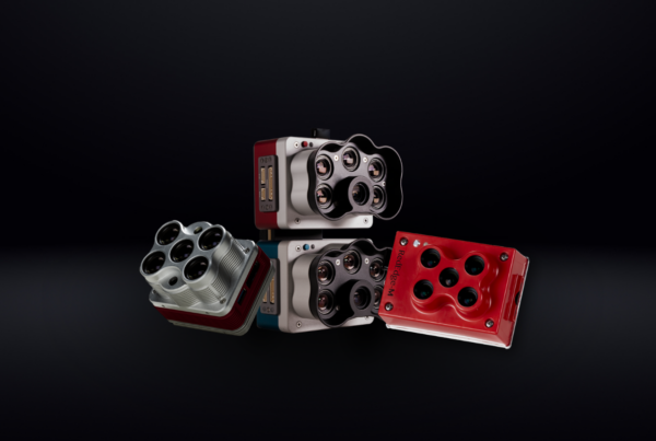
The Matrice 350 RTK stands as a flagship platform, revolutionizing high-precision mapping. It ensures efficient data collection by supporting various flight missions and is equipped with Terrain Follow and Smart Oblique features. Partnered with DJI Terra, it delivers HD, 2D, and 3D digital results, setting new standards for mapping operations. Altum-PT, an optimized 3-in-1 solution, integrates a high-resolution panchromatic sensor, a thermal sensor, and five discrete spectral bands. This combination is a boon for remote sensing and agricultural research, allowing machine learning applications for crop counting and providing distortion-free results. Pix4DFields, a hybrid mapping software solution, complements Altum-PT by creating accurate maps and models, facilitating in-field decision-making and analysis. The trio presents a comprehensive solution for advanced agriculture, adhering to NDAA compliance, ensuring high resolution, and providing trusted results for precision farming.
Why could this solution be for you?
- Flagship Platform for High-Precision Mapping: Its support for various flight missions, Terrain Follow, and Smart Oblique features ensures efficient data collection, making it the right choice for farmers prioritizing high-precision mapping in their operations.
- Optimized 3-in-1 Solution for Advanced Sensing: Altum-PT, an optimized 3-in-1 solution, integrates high-resolution panchromatic and thermal sensors, along with five discrete spectral bands. This integration empowers users with deeper analytical capabilities and diverse applications, making it the perfect choice for advanced remote sensing and agricultural research.
- Comprehensive Mapping Software for In-Field Decision-Making: Pix4DFields, a hybrid mapping software solution, complements Altum-PT by creating accurate maps and models, facilitating in-field decision-making and analysis. Its ability to provide instant field images taken from drones without requiring an internet connection ensures rapid decision-making and action, making it an indispensable tool for precision agriculture.
Choosing the right drone solution is crucial, and these bundles are tailored to diverse agricultural needs—whether you’re a beginner exploring precision agriculture, require detailed surveying, or need advanced mapping and sensing capabilities. Your choice depends on the specific goals and requirements of your agricultural operations.
Need help identifying the best solution for your needs and operations? Connect with our experts.


