Maximize efficiency with construction drones that provide real-time insights for smarter decision-making. By automating tasks like surveying and mapping, these drones help streamline operations, keeping your projects competitive and on schedule.
Get Advice on the Right Drone Solution for You
FROM PRECISE SURVEYING TO EFFICIENT SITE INSPECTIONS, CONSTRUCTION DRONES ARE TRANSFORMING PROJECT OPERATIONS
FROM PRECISE SURVEYING TO EFFICIENT SITE INSPECTIONS, CONSTRUCTION DRONES ARE TRANSFORMING PROJECT OPERATIONS
WHO’S ENHANCING OPERATIONS WITH OUR DRONES
Drones have become indispensable for builders, project managers, land surveyors, engineers, architects, infrastructure inspectors, and construction professionals. Explore how our drone programs are revolutionizing construction practices, enhancing efficiency, and optimizing project operations.
WHERE OUR DRONES ARE MAKING A DIFFERENCE
WHERE OUR DRONES ARE MAKING A DIFFERENCE
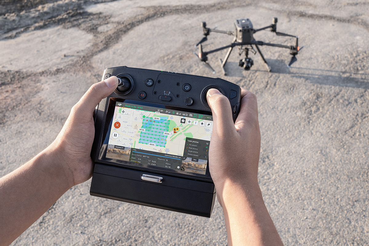
Site Surveying & Mapping
Construction drones streamline site surveying and mapping by capturing high-resolution aerial imagery and data. This technology provides accurate topographic maps and detailed site layouts, helping project managers plan and execute construction projects with precision.

Progress Monitoring & Reporting
Mapping drones offer real-time progress updates and detailed visual reports. By regularly capturing aerial images, these drones allow construction teams to monitor development, assess project milestones, and make informed decisions based on current site conditions.
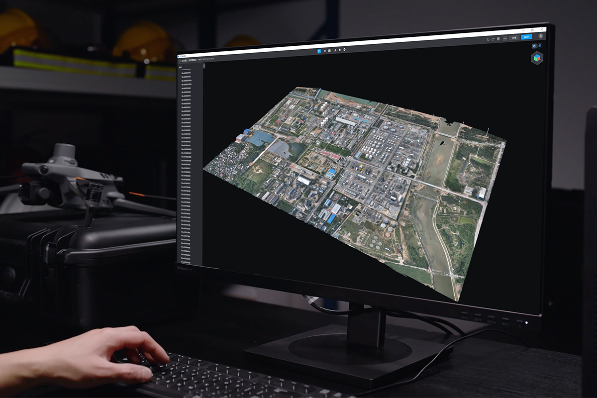
3D Modeling & Photogrammetry
Surveying drones enable the creation of detailed 3D models and accurate photogrammetric maps. This technology enhances project visualization, aids in design validation, and supports more effective planning and coordination throughout the construction process.
Material & Equipment Tracking
Construction drones equipped with advanced sensors and cameras enhance material and equipment tracking by providing real-time updates on inventory and logistics. This technology ensures efficient resource management, minimizes delays, and improves overall site operations.
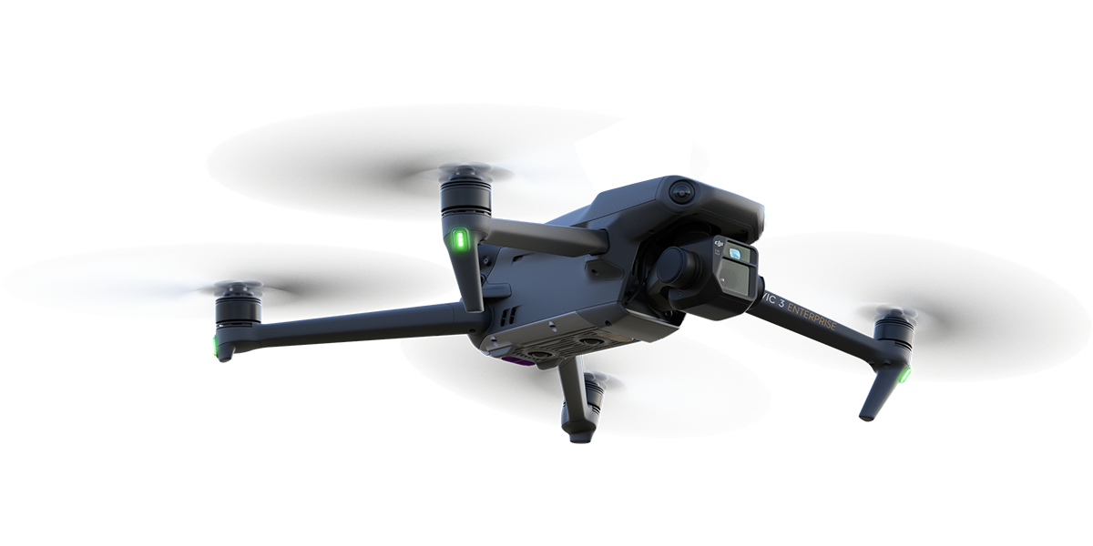
SOME OF OUR TOP DRONE SOLUTIONS TRUSTED BY CONSTRUCTION PROFESSIONALS
SOME OF OUR TOP DRONE SOLUTIONS TRUSTED BY CONSTRUCTION PROFESSIONALS
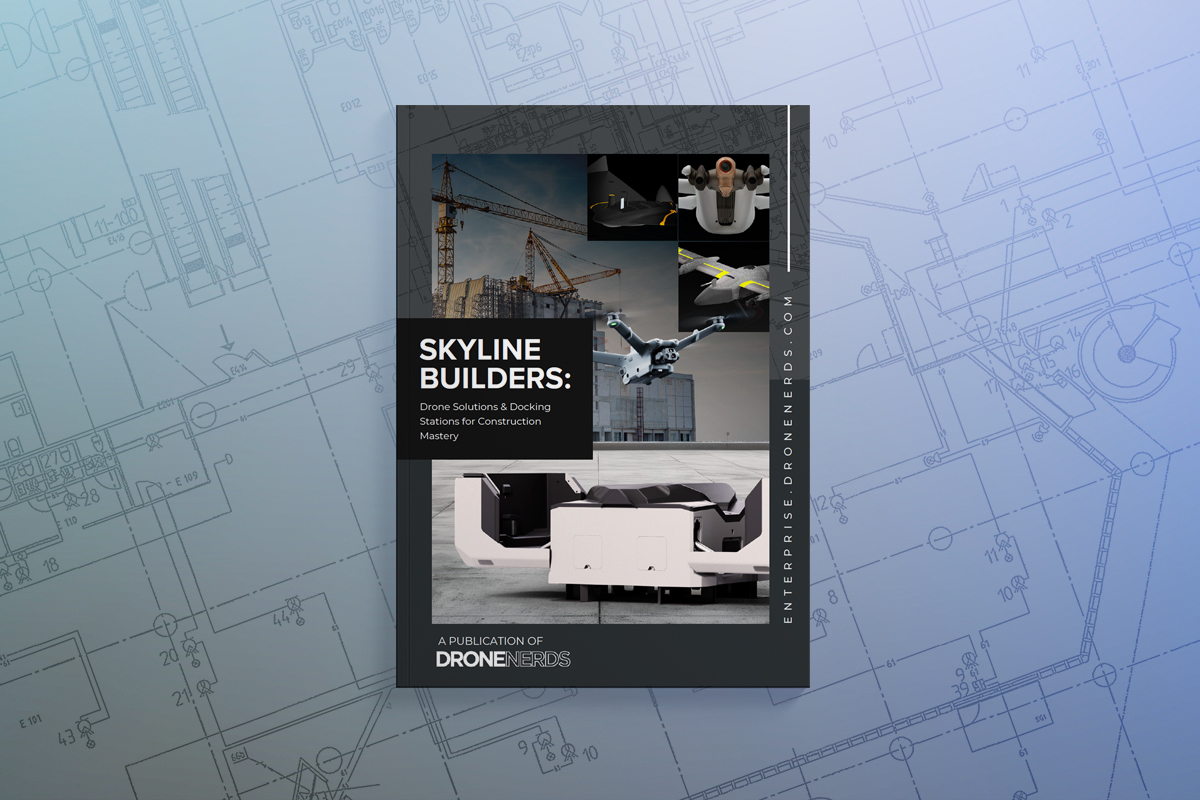
UNLOCK FREE ESSENTIAL RESOURCES FOR DRONES IN CONSTRUCTION
UNLOCK FREE ESSENTIAL RESOURCES FOR DRONES IN CONSTRUCTION


WATCH OUR LATEST VIDEOS ON DRONE TECHNOLOGY
WATCH OUR LATEST VIDEOS ON DRONE TECHNOLOGY

Forget Ladders: This Drone Cleans Buildings 200FT High
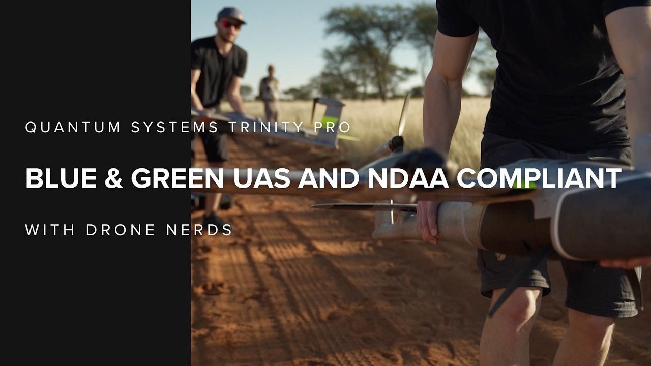
Quantum Systems Trinity Pro Is Now Blue & Green UAS & NDAA Compliant

Don't Get Scammed Buying Your Next Drone
Forget Ladders: This Drone Cleans Buildings 200FT High
Quantum Systems Trinity Pro Is Now Blue & Green UAS & NDAA Compliant
Don't Get Scammed Buying Your Next Drone

FCC Webinar Recap: What Drone Pilots Must Do Now
PLATFORMS
SENSORS
SOFTWARE
ACCESSORIES
SERVICES
SPEAK WITH AN EXPERT
Contact us to meet with a member of the Drone Nerd’s team to discuss the right solution for you.
SPEAK WITH AN EXPERT
Contact us to meet with a member of the Drone Nerd’s team to discuss the right solution for you.