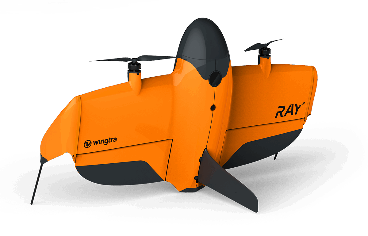
WingtraRAY redefines aerial surveying by guaranteeing mission success on the very first flight, dramatically cutting turnaround times and operational overhead. From navigating tight urban corridors to vast rural expanses, its modular, all-in-one design scales effortlessly from millimeter-level inspections to large-area mapping, so you can serve more clients and tackle a wider range of projects with a single versatile platform.
- Peace of mind: Confidence you’ll get it right the first time, in rural and urban environments
- Cost Effective: The fastest most reliable way to deliver survey data
- One tool, more jobs: Serve more customers and applications—from fine detail and mm resolution to full-scale projects—with one solution