EagleNXT eBee X

Lightweight Regulatory Compliant Mapping Drone

The eBee X is EagleNTX’s advanced fixed-wing drone designed to meet all your surveying and mapping needs. Regardless of your project’s size, it helps you achieve your missions with high quality, enhanced efficiency, and increased accuracy.

Powerful Drone for Any Mission

eBee X

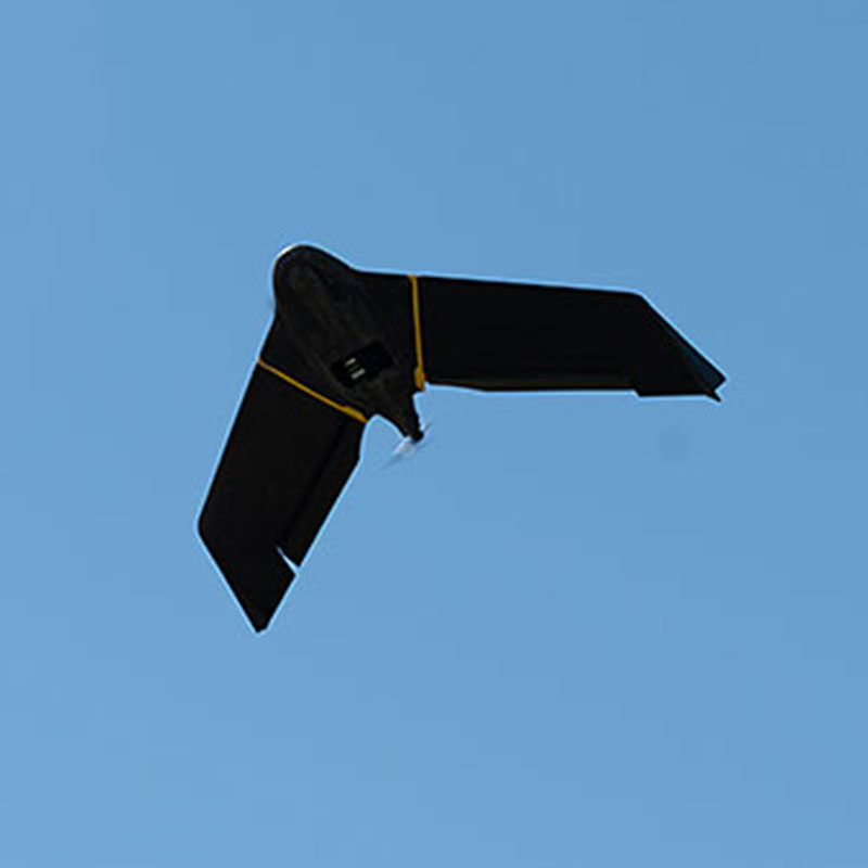
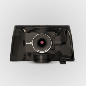
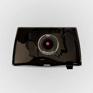
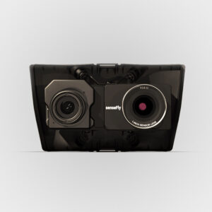
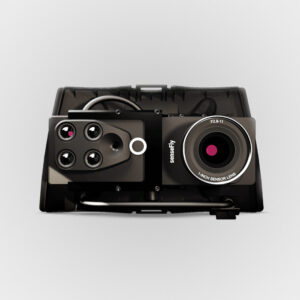
The eBee X is an advanced drone platform that makes your mapping and surveying processes faster, safer and more efficient. From surveying mines and complex construction sites to crop health analysis and disaster response, it is suited for any job thanks to its wide range of groundbreaking, interchangeable cameras.

  • Easy hand-launch
  • 3-minute deploy
  • Automated flight with the eMotion mission planning software
  • Modular design
  • On-demand RTK/PPK capabilities
Reliable Aerial Imagery for Successful Missions

eBee X is compatible with a wide range of interchangeable photogrammetry cameras that capture reliable aerial imagery – from 3D models to orthomosaics – to suit every mapping job.

Obtain High Accuracy with RTK/PPK

With the on-demand RTK / PPK capabilities of the eBee X, you can gather data without ground control points (GCPs) while maintaining a GSD down to 1.5 cm / 0.6 in.

eBee X Flying
eBee X with pilot on mountains
eBee X pilot with case on path
eBee X crop field

Lightweight Fixed-Wing Drone

Operate safely within more regulatory frameworks thanks to the eBee X’s light weight, which allows you to expand your range and operational possibilities (BVLOS and flights over people).

eBee X’s modular design reduces both delays and repairs. Swap out accessories or make in-field repairs with ease, minimizing downtime.

SPEAK WITH AN EXPERT

Extended Flight Time

Efficiently map up to 500 ha / 1,235 ac while flying at 120 m / 400 ft. The eBee X 90-minute max flight time makes it the perfect drone for covering large areas.

Regulatory Advantages

eBee X operators benefit from regulation advantages not available to heavier drones above 2 kg / 4.4 lbs. The eBee X surveying drone meets the highest possible quality and ground risk safety standards, and thanks to its lightweight design, the effects of ground impact are reduced.

Approved for Flights Over People

The eBee X was approved to run Operations Over People (OOP) in Canada and the United States, essential for city mapping and surveying. It also has remote ID approved by the FAA.

Drone Cameras Available for the eBee X

The eBee X versatile design suits every job thanks to its range of groundbreaking and interchangeable mapping drone sensors.

eBee X with RGB Camera
Sensefly eBee X SODA3D Sensor

S.O.D.A. 3D

Sensefly eBee X Aeria X Sensor

Aeria X

Sensefly eBee X SODA Sensor

S.O.D.A.

Sensefly eBee X Corridor Sensor

Corridor

Sensefly eBee X Duet T Sensor

Duet T

Sensefly eBee X Duet M Sensor

Duet M

PLATFORMS

SENSORS

SOFTWARE

ACCESSORIES

SERVICES

SPEAK WITH AN EXPERT

Contact us to meet with a member of the Drone Nerd’s team to discuss the right solution for you.