The integration of drone technology has revolutionized the approach to mapping and surveying tasks in construction operations. Drones offer unparalleled capabilities for capturing high-resolution imagery, LiDAR data, and GPS coordinates, making them indispensable tools for construction mapping. Check out six essential steps to ensure effective construction mapping using drones technology.
1. Preparation and Planning
Before launching your drone, meticulous planning is essential. Identify the key objectives of the mapping project, such as capturing site topography, monitoring progress, or assessing potential hazards. Plan flight paths and waypoints to ensure comprehensive coverage of the construction site while adhering to safety regulations and airspace restrictions.
It’s important to ensure compliance with the Federal Aviation Administration (FAA) regulations, including obtaining necessary permits for drone operations in controlled airspace, and adhere to local ordinances regarding drone flights near populated areas or sensitive infrastructure. Additionally, consider implementing safety measures such as conducting pre-flight safety checks to mitigate potential risks.
2. Equipment Setup and Calibration:
Proper setup and calibration of drone equipment are critical for accurate data collection. Ensure that your drone is equipped with high-quality cameras, LiDAR sensors, and GPS receivers.
These components are essential for capturing detailed imagery, accurately measuring terrain elevation, and precisely geo-referencing data points, respectively. Calibrate the equipment according to manufacturer guidelines to guarantee precise measurements and reliable performance during flights.
3. Flight Execution:
Once preparations are complete, it’s time to take to the skies. Execute planned flight paths using automated flight control software, ensuring smooth and consistent coverage of the construction site. Monitor the drone’s progress in real-time, adjusting flight parameters as needed to capture optimal data quality.
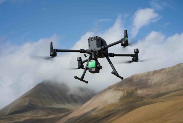
The DJI Mavic 3 Enterprise is an example of a powerful drone solution for construction operations. It stands out for its exceptional surveying efficiency and centimeter mapping accuracy. It ensures precise data collection, allowing construction professionals to make informed decisions with confidence.

4. Data Acquisition:
As the drone collects data, focus on capturing comprehensive imagery and LiDAR scans of the construction site. Pay attention to details such as image overlap and sensor settings to maximize data quality and accuracy. Collect sufficient data points to create detailed maps and models that accurately represent the site’s features and terrain.
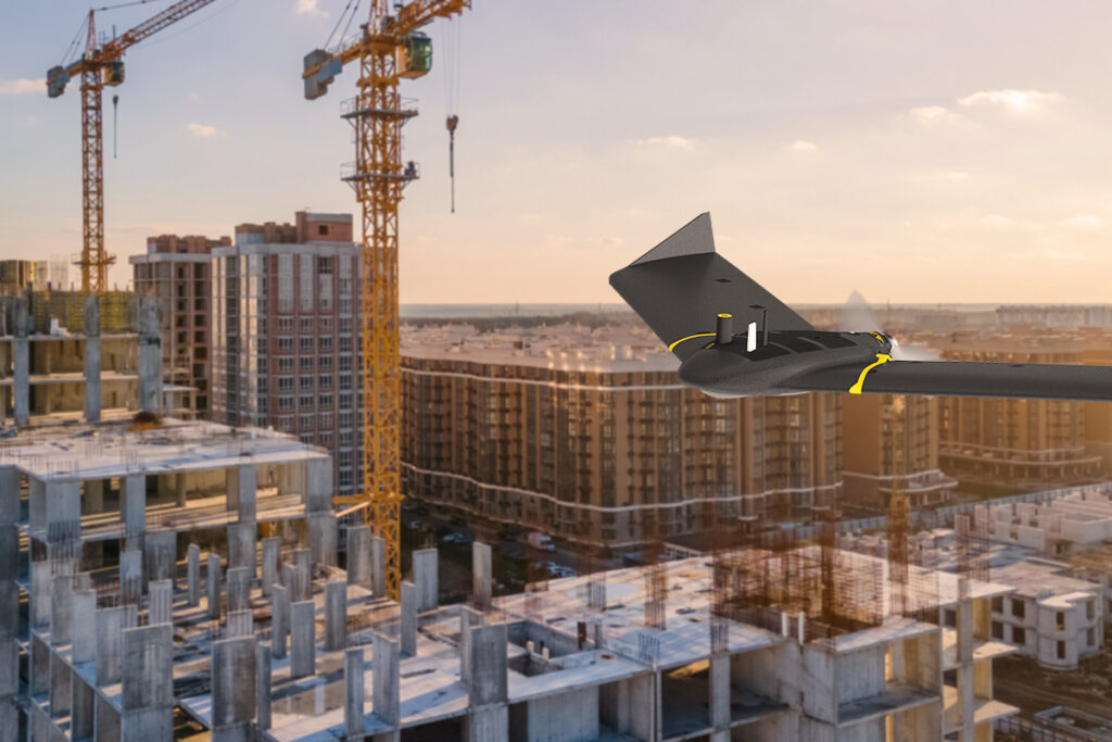
The eBee X, for instance, is another advanced drone platform that can tackle a wide range of construction projects, from simple to complex sites. Equipped with groundbreaking, interchangeable cameras, it ensures that construction professionals have the right tools for the job, enhancing efficiency, safety, and data accuracy across various applications.

5. Data Processing and Analysis:
With data collection complete, it’s time to process and analyze the captured information. Utilize specialized software tools to combine aerial images, process LiDAR point clouds, and integrate GPS data into a cohesive dataset. Conduct thorough analysis to extract valuable insights and identify key metrics relevant to the mapping objectives.
6. Visualization and Reporting:
Finally, visualize the mapped data in intuitive formats such as 3D models and orthomosaics. The Parrot ANAFI Ai is another powerful UAV with sophisticated capabilities. It is ideal for photogrammetry tasks such as mapping, surveying, and 3D modeling. Its agility and precision make it an asset for capturing detailed imagery and generating accurate models of construction sites.
Finally, generate detailed reports highlighting key findings, trends, and actionable recommendations for project stakeholders. Communicate findings effectively to facilitate informed decision-making and support project planning and execution.
By following these six essential steps, construction professionals can leverage drone technology to streamline mapping processes, improve data accuracy, and enhance project outcomes. From initial planning and setup to data acquisition, processing, and analysis, each step plays a crucial role in ensuring the success of construction mapping projects. With drones as powerful allies, construction teams can unlock new levels of efficiency, precision, and innovation in mapping and surveying tasks, driving progress and excellence in the industry.
Looking to achieve unparalleled efficiency and effectiveness in your construction operations? Connect with one of our drone experts today.


