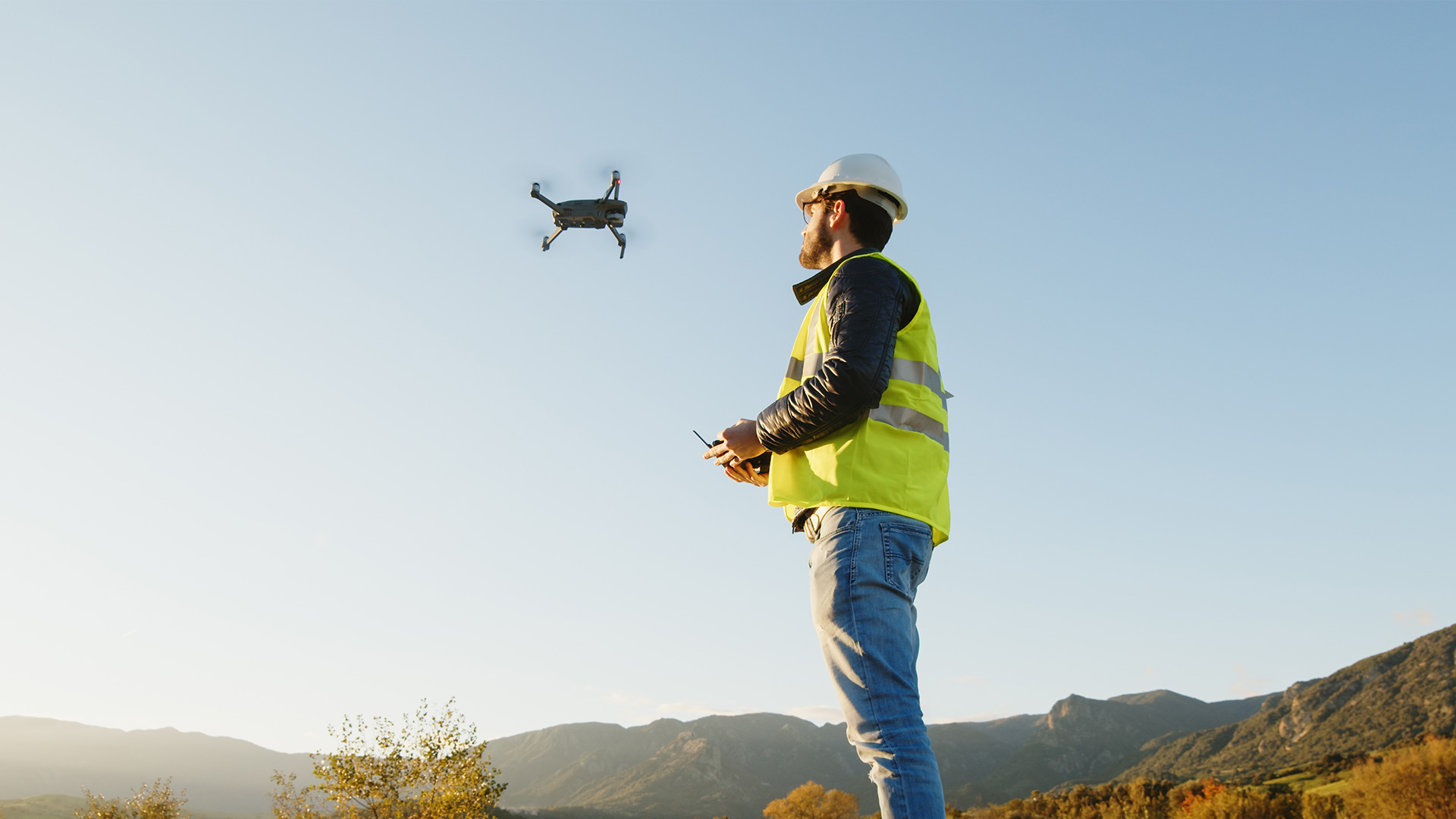
Drones are changing the construction industry by providing clarity, improving timelines, and safeguarding environmental areas. Their role in project reporting clarity allows for enhanced collaboration and communication among subcontractors, general contractors, clients, project managers, and relevant stakeholders. With accelerated data collection and processing, drones contribute to improved project timelines, ensuring quicker decision-making processes; they can also assist in identifying and protecting environmental areas, promoting sustainability in construction practices, and helping local governments enforce zoning restrictions.
While there is no doubt that drones provide immense benefits throughout each phase of the construction process, drones used for the initial surveying stages aid in precise data collection, helping minimize rework and resource waste from early on.
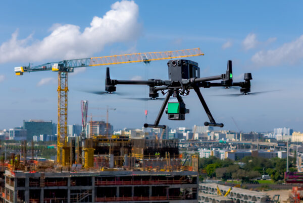
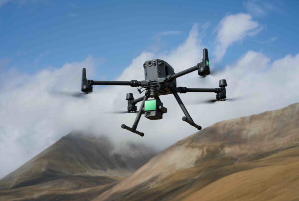
Drones offer a range of advantages for construction projects, categorized into four key areas: increased efficiency, reduced expenses, improved safety standards, and enhanced data accuracy. Drones equipped with RTK (real-time kinematic positioning), combined with photogrammetry or LiDAR payloads (like the DJI L2 or P1) offer centimeter-level accurate measurements for exceptionally precise digital twins and BIM models.
As site surveys are a critical step in the construction process, drones help identify potential issues or anomalies that can affect the project. This can include a comprehensive review of the topography, climate, vegetation, and existing buildings and utilities. Surveys before construction are critical as it’s important to ensure no design changes are needed before building begins to avoid costly change orders and potential material loss, as well as ensure that pre-established zoning regulations are followed.
From cadastral surveys and topographic mapping to precise elevation and boundary mapping, drones have a significant impact on the overall process that can affect the bottom line of a construction project. In cadastral surveying, UAVs can help create reality models that include plots and attachments using high-accuracy drone solutions, allowing teams to map and model large areas effortlessly with drones to produce data for accurate 2D and 3D models. Drones can help generate 1:500 scale maps, meeting centimeter-level accuracy requirements. Additionally, they can attain industry-standard outputs like DOM, DSM, 3D reality models, and more.

When used for topographic surveying, drones can help capture the data that is needed to generate 2D orthomosaics in real time so teams can immediately visualize land cover and identify any changes.
Boundary surveys are usually required before building to identify established property lines and define the property corners of a parcel as described in a deed. This kind of survey is important because it helps identify easements or encroachments that may have occurred between different ownership or timeframes. This helps identify the limitations imposed on the property by state or local regulations, and can help prevent legal issues post-build.
So..How Can Drones Help?
Traditionally, cadastral surveyors need laser levels, handheld GPS equipment, compasses, prism poles, and other equipment to measure parcels and mark property boundaries. With drones, a surveyor can easily identify and map the same boundaries by leveraging high-resolution orthophotos. Because orthophotos are geometrically corrected, displacements of the terrain or camera angle no longer affect the accuracy of the survey and promote successful distance and surface measurements. Topography and elevation surveys identify the actual structures that are on a parcel, whether they are natural or man-made. These surveys show the location, size, and height of these types of structures, including the changes and contours in elevation that can affect a building. Drones equipped with a photogrammetry payload can capture overlapping images using waypoints for navigation, providing an exact flight path at a pre-set elevation. This ensures that the data captured is accurate throughout the entire path. With LiDAR, you can easily measure the height of structures and vegetation to generate an accurate digital terrain model.
To learn more about the technology available to help optimize construction project, connect with us today at experts@dronenerds.com.


