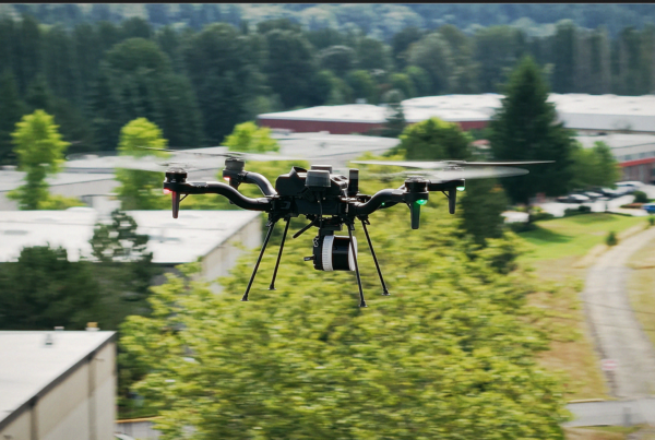
Enteprise OperationsSensors January 15, 2026 Transforming Aerial Data Capture with the Freefly FLUX LiDAR Series Accurate, timely aerial data is foundational to modern mapping, inspection, and infrastructure workflows. As project… Armand Fontes 0 Love0
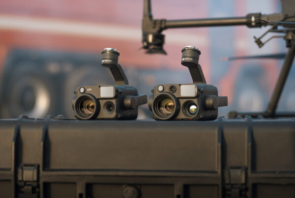
ConstructionEnergyEnterprise Drone ProgramInspectionSensors November 4, 2025 DJI Zenmuse L3: The Next Generation of LiDAR Imaging As projects grow in scale and complexity, construction and inspection professionals face mounting challenges in… Armand Fontes 0 Love0
Sensors February 11, 2025 Introducing GeoCue LiDAR Solutions— Meet the TrueView Series GeoCue is an established LiDAR and mapping hardware and software development company that has been… Guillermo Pepin 0 Love0
EnergyEnteprise OperationsForestryInspectionPublic SafetySensors May 16, 2024 Unveiling the DJI Zenmuse H30 Series DJI continues to push the boundaries of innovation with the introduction of the Zenmuse H30… afb3d9a5_admin 0 Love1
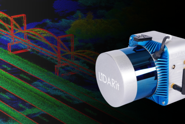
Sensors March 14, 2024 LiDARit— Solutions for Data Visualization LiDAR, short for Light Detection and Ranging, is a remote sensing technology utilizing laser light… Guillermo Pepin 0 Love0
Sensors February 14, 2024 Enhancing Oil and Gas Infrastructure Monitoring with Drones The challenges in oil and gas infrastructure monitoring are substantial and the vast expanses of… Guillermo Pepin 0 Love0
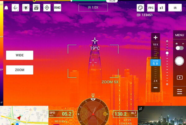
Sensors January 26, 2024 Thermal Solutions—From Drones to Payloads Thermal solutions have become essential in numerous industries, changing how we handle tasks like surveillance,… Guillermo Pepin 0 Love0
SensorsUncategorized January 19, 2024 Comparing Photogrammetry and LiDAR for Advanced Geospatial Exploration In geospatial exploration, the choice between Photogrammetry and LiDAR technologies has become an important decision… Guillermo Pepin 0 Love0
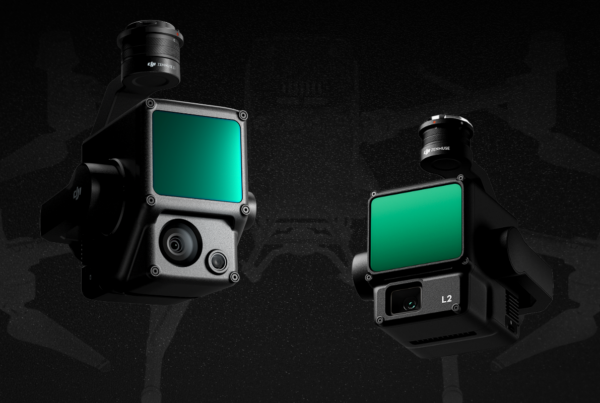
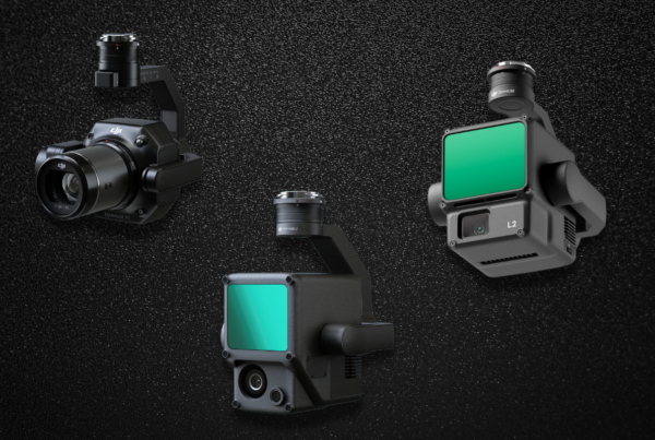
Sensors November 15, 2023 Power of DJI Zenmuse L1 and L2 Payloads are the additional equipment attached to UAVs that allow for the customization of standard… Guillermo Pepin 0 Love0
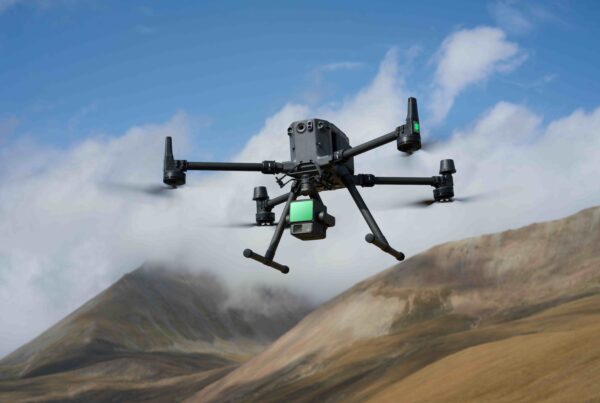
ConstructionEnergyEnteprise OperationsForestryInspectionSensors September 5, 2023 Elevate Your Aerial Surveying Missions with the New DJI Zenmuse L2 DJI has just unveiled the Zenmuse L2, its latest highly integrated LiDAR system designed for… afb3d9a5_admin 0 Love0