In geospatial exploration, the choice between Photogrammetry and LiDAR technologies has become an important decision for professionals seeking accurate 3D models of terrains. Whether you’re capturing the intricate details of terrains or mapping infrastructure with utmost accuracy, understanding the unique data collection approaches of these technologies is paramount. In this article, we’ll delve into the distinctive strengths of Photogrammetry and LiDAR, offering insights to help you make informed decisions based on your specific project requirements.
Lidar: Precision in Direct Measurement
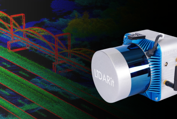
LiDAR, which stands for Light Detection and Ranging, is a technology that employs direct measurement by physically hitting features with light and measuring the reflected signals. The LiDAR instrument typically consists of a laser for emitting light, a photodetector sensor, and optics for collecting reflected light, and a GPS receiver for documenting the exact position of data points in real-time.
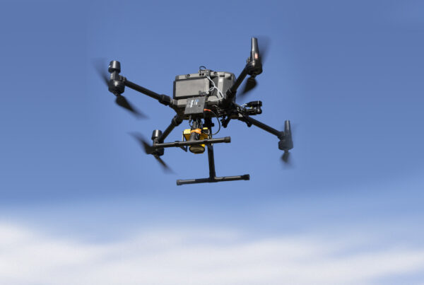
One of the advantages of LiDAR is its ability to produce a point cloud-like image, offering a highly detailed representation of the terrain. For example, the DJI’s Zenmuse L1 integrates Livox LiDAR, a high-accuracy IMU, and a 1-inch CMOS camera, providing real-time 3D data for precise modeling of complex structures. On the other hand, the Zenmuse L2 goes a step further, incorporating frame LiDAR, a self-developed high-accuracy IMU, and a 4/3 CMOS RGB mapping camera. When used with DJI Terra, the L2 delivers a turnkey solution for 3D data collection and high-accuracy post-processing, showcasing DJI’s commitment to advancing LiDAR technology.
Read more about their differentiation in our article “Power of DJI Zenmuse L1 and L2 ”
Photogrammetry: Capturing Realities Through Imagery
Photogrammetry relies on images captured by a drone-mounted camera to reconstruct terrain in an accurate 3D model. The process involves analyzing image overlap and incorporating ground control points to ensure precision. With the right filter settings, photogrammetry can achieve absolute accuracy, even in areas with dense vegetation cover.
The Zenmuse P1, with ultra HD capabilities, integrates a full-frame sensor on a 3-axis gimbal for efficient and accurate photogrammetry missions. DJI’s ultra HD cameras, compatible across drone series, benefit filmmakers, producers, surveyors, mapmakers, real estate developers, and builders. The Zenmuse P1’s key features include a 45MP full-frame sensor, 4.4μm pixel size, low-noise imaging for extended operational time, rapid photo capture, and TimeSync 2.0 for precise alignment during aerial surveying.
DJI Terra, a 3D model reconstruction software, serves as a bridge between photogrammetry and LiDAR technologies. Built with photogrammetry as its core technology, DJI Terra supports accurate 2D and 3D reconstruction of visible light. Additionally, it seamlessly integrates with DJI LiDAR, providing a comprehensive solution for various applications, including land surveying, mapping, power transmission, emergency services, construction, transportation, and agriculture.
LiDAR vs Photogrammetry
A quick overview of the key differences between LiDAR and Photogrammetry!
| Criteria | LiDAR | Photogrammetry |
| Data Collection Method | Direct measurement using light reflection | Reconstruction of terrain through images |
| Cost | Higher cost, especially for setup and calibration | Generally lower cost |
| Data Points for 3D Point Cloud | Thousands of data points build a 3D point cloud outlining the ground | Hundreds or thousands of photos analyzed and stitched together |
| Accuracy | Higher relative and absolute accuracy | Thousands of data points build a 3D point cloud outlining the ground |
| Expertise and Software Requirements | Requires on-site expert for raw data conversion and appropriate software | Generally more accessible software, may not require on-site expertise |
| Limitations | Works day or night, less effective in clouds | Sunlight-dependent, limited in overcast conditions |
| Flight Overlap | 20-30% overlap, faster acquisition time | 60-90% overlap, slower acquisition time |
| Complexity | It is more straightforward, doesn’t require expertise | Relative accuracy is good while achieving absolute accuracy proves more challenging. |
| Processing Time | Raw data takes minutes to process | Raw data takes hours to days to process |
| File Format | LAS/LAZ | TIFF, PNG, JPEG, BMP |
| Best Uses | Precision crucial, small/narrow structures | Visual data, mining, civil construction |
The Best Fit You
When to Use LiDAR:
- Precise Measurements and Mapping: LiDAR is unparalleled in providing highly accurate and precise measurements. It is the go-to technology for projects that demand detailed mapping, such as topographic mapping, urban planning, or infrastructure development.
- Focused Data Collection: In scenarios where the collection of specific data points is crucial, LiDAR shines. It can collect data with precision, making it suitable for applications like infrastructure inspection, where detailed information on structures is essential.
- Low-Light Environments: LiDAR, especially with advanced focusing capabilities, is effective in low-light environments. This makes it a preferred choice for projects conducted in challenging lighting conditions.
When to Use Photogrammetry:
- Visual Context is Essential: Photogrammetry excels in providing visually rich 3D models with intricate details. If a project requires a comprehensive and immersive representation of the terrain, especially for applications like virtual reality or visual simulations, photogrammetry is a strong choice.
- Cost-Effective Mapping: Photogrammetry can be a more economical option in scenarios where cost is a significant consideration. The technology relies on standard cameras mounted on drones, making it a cost-effective solution for projects with budget constraints.
- Vegetation Analysis: Photogrammetry, with the right filtering settings, can provide accurate data even in areas with dense vegetation. This makes it suitable for projects that involve vegetation analysis or monitoring, such as forestry or environmental studies.
In many cases, the best approach involves integrating both technologies. Solutions like DJI Terra, which combines photogrammetry and LiDAR capabilities, offer a comprehensive toolkit for various applications. The choice between Photogrammetry and LiDAR ultimately depends on the specific requirements of the project. Consider factors such as budget constraints, the need for visual context, precision requirements, and environmental conditions when making the decision. In conclusion, there is no one-size-fits-all answer. The best choice depends on understanding the nuances of each technology and aligning them with the objectives of the project at hand.


