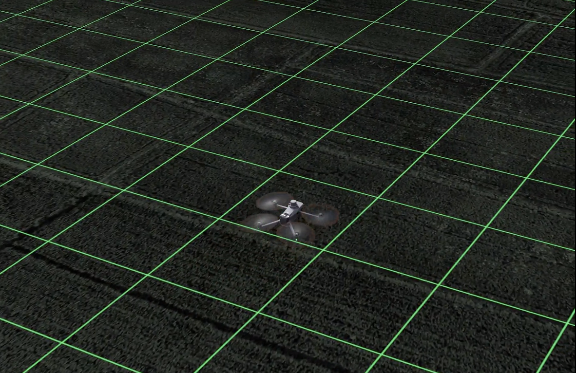
What if you could do an aerial survey with a drone that sees beyond the visible spectrum? The DJI Mavic 3 Multispectral (M3M) drone can do just that, it has both an RGB camera and a multispectral camera to provide clear and detailed analysis of crop growth, crucial for precise agricultural production management. The drone is compact, portable, and foldable for easy storage; it ensures safety with omnidirectional obstacle avoidance and stable flight with a 15km transmission distance. With a 43-minute cruise time and fast charging, the M3M offers efficient and reliable battery life. Read more about the technical specs in our previous article here.
In this article, we will explore the optimal scenarios for deploying this drone and making the most out of its capabilities.

Applications
The Mavic 3M has versatile applications in crop monitoring, and variable-rate application and works best when used with DJI Terra or DJI SmartFarm platforms.
- Orchard Mapping: You can use the Mavic 3M for orchard mapping and conduct terrain-follow aerial surveys of orchards, even on sloped landscapes. When paired with DJI Terra or DJI SmartFarm Platform, it enables the automatic reconstruction of high-resolution orchard maps. This helps you identify the number of trees, distinguish trees from other obstacles or objects, and generate three-dimensional operation routes for agricultural drones which in turn makes your operations safer and more efficient.
- Guide Variable Rate Applications: The Mavic 3M guides variable rate applications for activities like rice fertilization, cotton growth regulation, and potato foliar fertilizer spraying. By capturing multi-spectral images of crops, it leverages DJI Terra or the DJI SmartFarm Platform to generate Normalized Difference Vegetation Index (NDVI) and other vegetation indices maps. The NDVI is a numerical indicator used in remote sensing and satellite imagery analysis to assess and quantify the health or density of vegetation in a specific area. These maps highlight differences in crop potential, enabling the creation of prescription maps for agricultural drones to execute variable-rate
applications.
The incorporated sunlight sensor captures solar irradiance and logs it in an image file, enabling the adjustment of light in image data during 2D reconstruction. This process enhances the precision of NDVI outcomes and ensures improved accuracy and consistency in the data collected over time. In the end, this helps you reduce costs, increase yield, and protect the environment. - Intelligent Field Scouting: The Mavic 3M can automatically scout fields and upload images in real-time to the DJI SmartFarm Platform through a 4G network. This feature helps you identify abnormalities such as emergence deficiencies, weed pressure, and crop lodging promptly. The M3M can also conduct intelligent analyses like cotton seedling identification and rice production testing, utilizing AI identification for real-time sharing of crop growth information. This allows for guidance of agronomic activities and easy management of 70 hectares of farmland by one person.
- Environmental Monitoring and Natural Resources Survey: In environmental monitoring and natural resources surveys, the Mavic 3M proves valuable. It can be utilized for tasks like water enrichment monitoring, forest distribution surveys, urban green area surveys, and more.
Additionally, the M3M’s true color camera draws accurate polygons around crops, supporting precise mapping and optimizing the spraying process with the Agras T40. The Agras T40 is an agricultural drone designed for crop spraying and is equipped with its own RTK module, ensuring accurate and targeted application of agricultural inputs. The accurately mapped crop polygons from the M3M can be imported into the flight plan for the Agras T40; this integration ensures that the T40 sprays where needed, avoiding over or under-spraying.

The Mavic 3M is an excellent choice for various applications due to its integration flexibility and robust support for development. With its seamless integration capabilities, the drone can directly connect to third-party cloud platforms via its Open Ecosystem and Cloud API, streamlining the transmission of essential data without the need for additional app development. Its support for Mobile SDK 5 (MSDK5) offers users the opportunity to create custom control applications customized to specific needs such as UAV field patrol and smart surveying, enhancing user-friendliness and adaptability.
Drone Nerds assist organizations in optimizing operations with the latest drones, payloads, and software. With support spanning across the United States, Canada, Central, and South America, Drone Nerds ensures that you receive expert advice for making the right choices in deploying the Mavic 3M effectively for your unique requirements.
Connect with our experts today!


