GeoCue TrueView 1 Series
Professional LiDAR Sensor for Every Budget
The most budget-friendly LiDAR system, puts survey-grade accuracy within everyone’s reach
The TrueView 1 Series delivers powerful, lightweight LiDAR solutions designed to transform drone mapping. As your gateway to precision and affordability, it seamlessly integrates LiDAR and photogrammetry, enabling fast, automated creation of colorized 3D point clouds, oblique imagery, and orthophotos—all from a single flight.
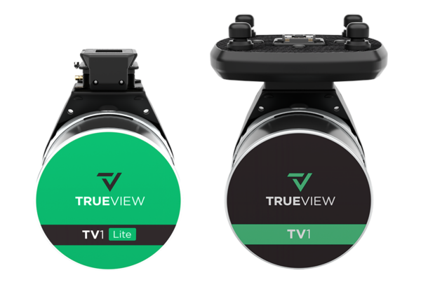
TrueView 1
Take full control of your drone mapping with the TrueView 1. Choose the perfect fit for your project with camera options of 26 MP, 45 MP, or 61 MP, and select the Trajectory Correction Service that aligns with your budget and accuracy needs. Designed for flexibility and performance, TrueView 1 ensures you get the best results for every mission.
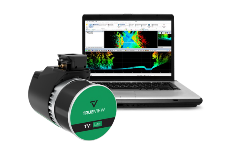
TrueView 1 Lite
The TrueView 1 Lite delivers no-nonsense performance without the costly extras. Powered by our TrueNav system—integrating a custom GNSS receiver and IMU—and equipped with a FLIR 5MP Global Shutter Camera with a 90º FOV, it provides reliable, high-quality data collection. As the ultimate starter solution, it’s easy to use, dependable, and surprisingly affordable.