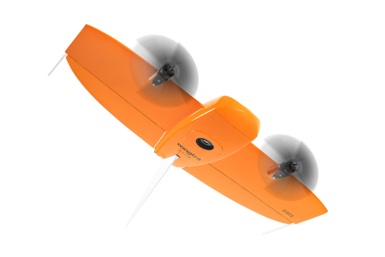
Unlock smarter, faster, and safer data collection with cutting-edge LiDAR technology. Whether you’re surveying land, inspecting infrastructure, or managing large-scale operations, LiDAR drone technology delivers the precision and performance your business demands.
Get Advice on the Right Drone Solution for You
ELEVATING EFFICIENCY ACROSS INDUSTRIES WITH ADVANCED LIDAR TECHNOLOGY
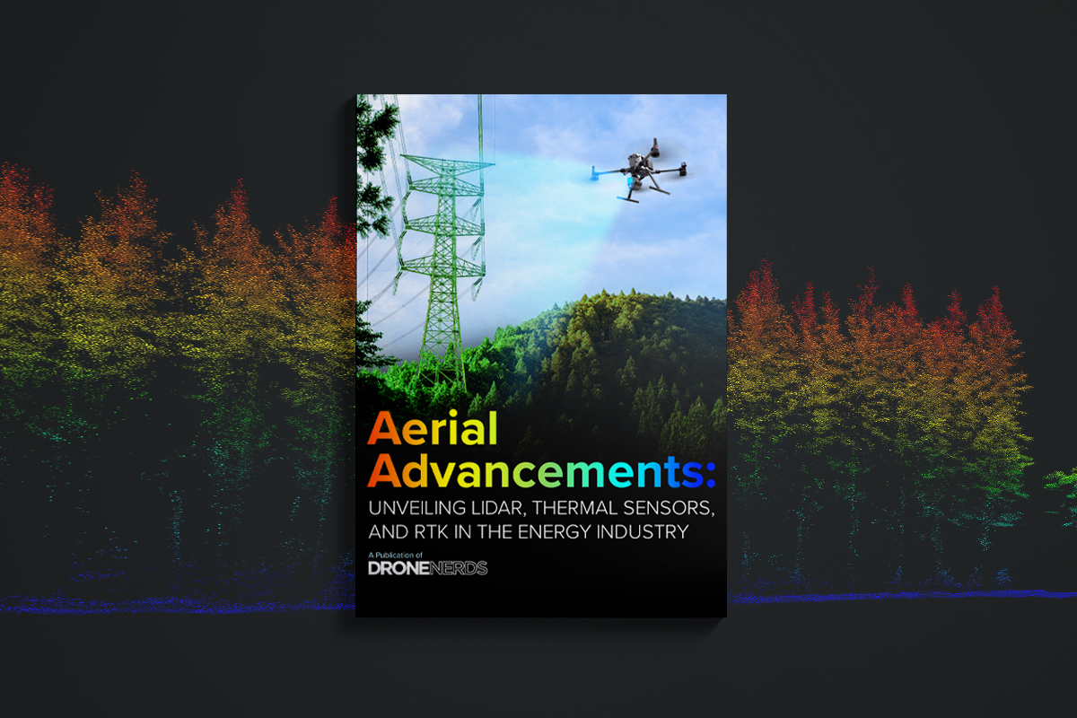
UNVEILING LIDAR, THERMAL SENSORS, AND RTK FOR SMARTER, MORE INFORMED UAV OPERATIONS
Elevate your UAV program with reliable LiDAR drone solutions designed for high-precision 3D data capture. By integrating LiDAR technology into your operations, you’ll streamline data collection, improve accuracy, and execute every mission with greater efficiency and confidence.
INDUSTRIES BENEFITING FROM LIDAR TECHNOLOGY

Surveying & Land Development
Drone-based geospatial solutions give surveyors, engineers, and project managers fast access to accurate aerial data. Capture detailed 2D and 3D models, streamline land assessments, and reduce time spent in the field. By improving safety, lowering costs, and accelerating decision-making, drones bring greater efficiency to every phase of surveying and land development.
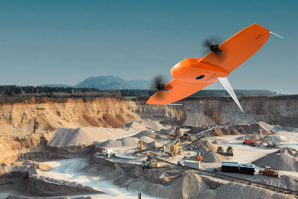
Energy
Drones support energy sites like solar farms, wind turbines, and powerlines by delivering critical asset insights. This enables proactive maintenance, improved efficiency, and compliance with industry regulations.
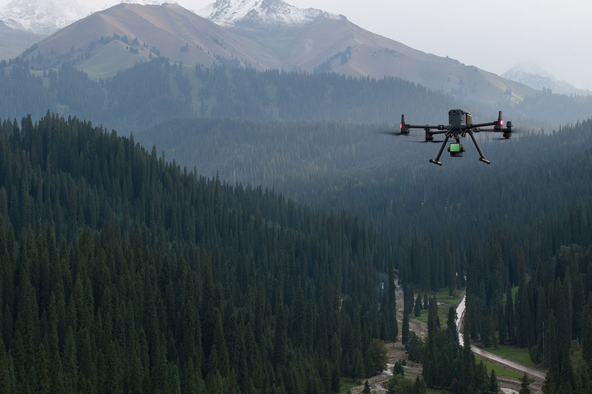
Forestry
LiDAR-equipped drones give forestry teams a clearer view of the landscape, making it easier to assess tree height, forest density, and overall health. With fast access to reliable data, teams can better plan harvests, manage inventory, and support long-term sustainability, even in hard-to-reach areas.
Infrastructure Management
Drones help urban planners capture accurate 2D and 3D models that integrate with GIS platforms for better visualization and analysis. Simplified flight planning tools increase mapping efficiency, reduce field time, and lower project costs in both urban and rural environments.
HARNESSING LIDAR DRONE SOLUTIONS FOR OPTIMAL MISSION EFFICIENCY
UNLOCKING POTENTIAL: EXPLORING LIDAR APPLICATIONS ACROSS INDUSTRIES
UNLOCKING POTENTIAL: EXPLORING LIDAR APPLICATIONS ACROSS INDUSTRIES
Discover the vast possibilities of LiDAR solutions with our comprehensive ebooks, including applications in various sectors.
PLATFORMS
SENSORS
SOFTWARE
ACCESSORIES
SERVICES
SPEAK WITH AN EXPERT
Contact us to meet with a member of the Drone Nerd’s team to discuss the right solution for you.
SPEAK WITH AN EXPERT
Contact us to meet with a member of the Drone Nerd’s team to discuss the right solution for you.