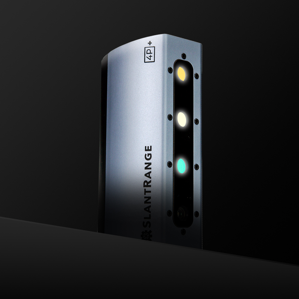
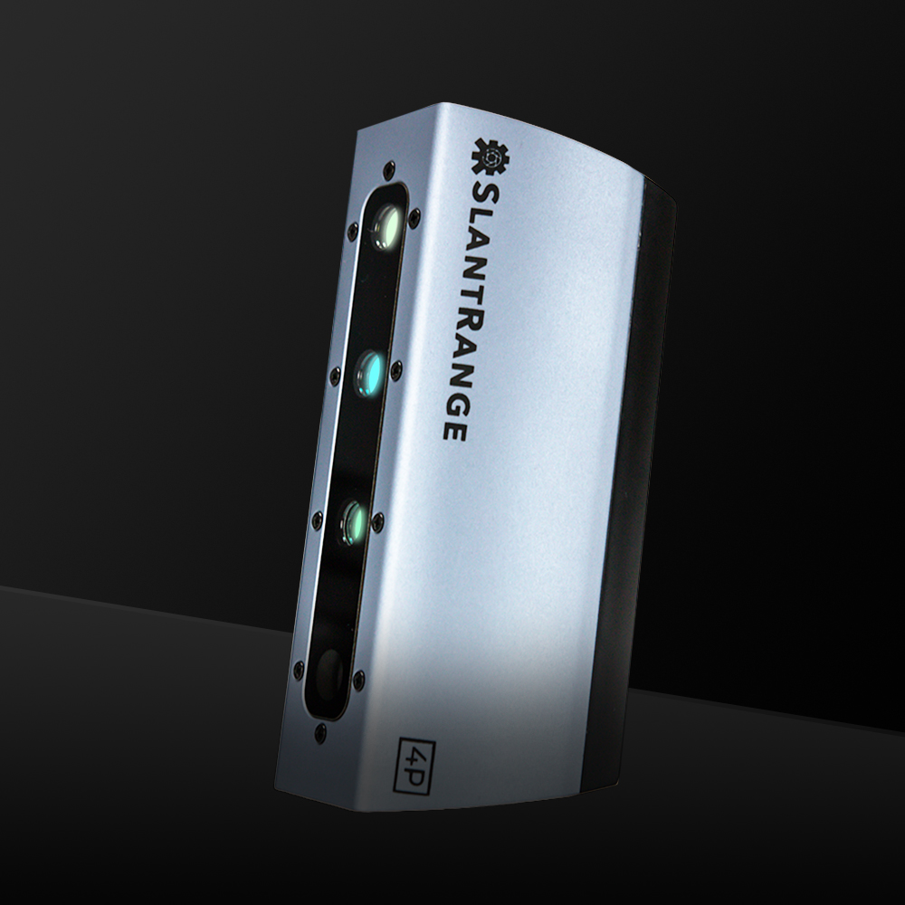
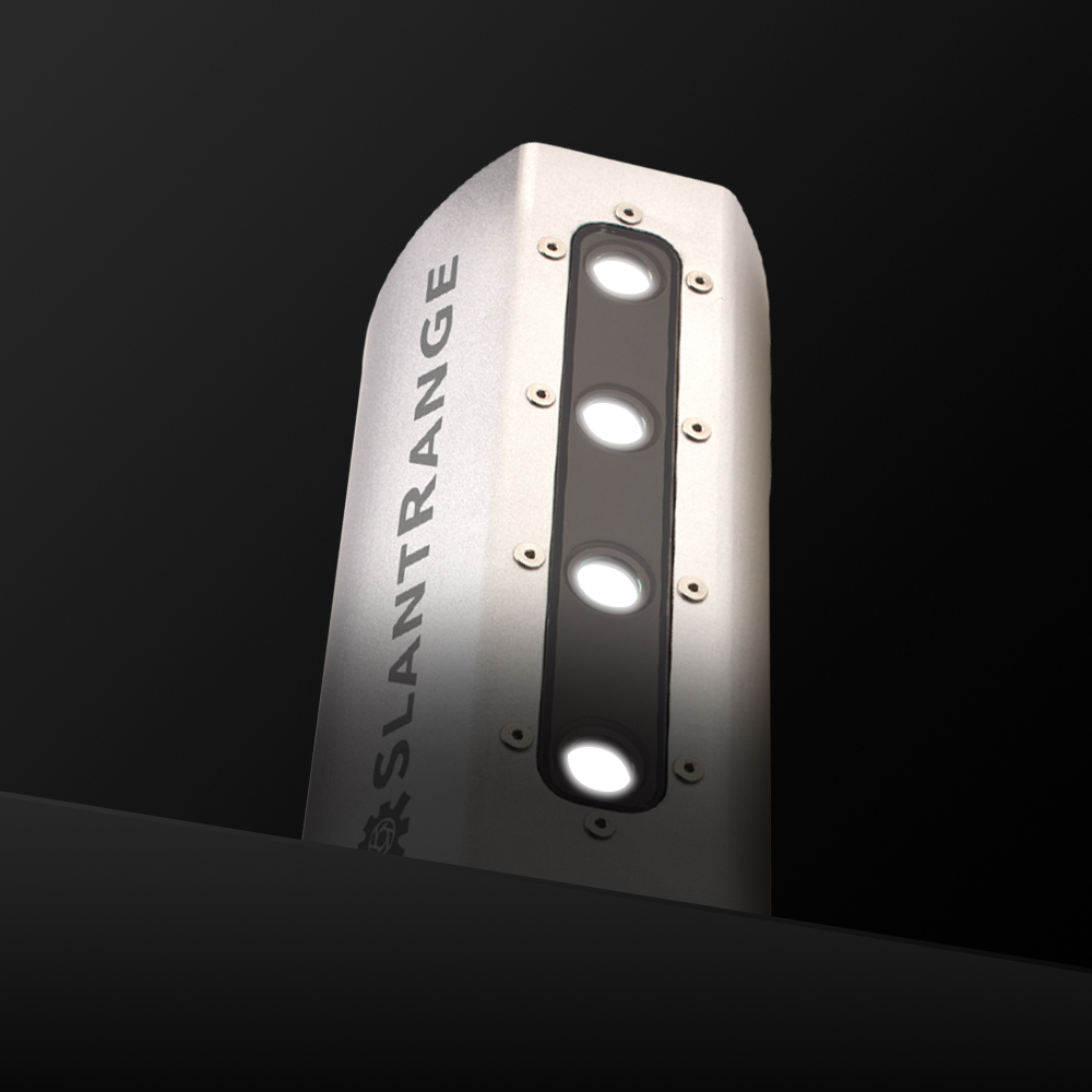
In the digital age, the journey from planting to harvest goes through the air. Aerial crop scouting and resultant NDVI and NDRE crop mapping analyses influence every major decision a farmer makes. Efficient planting density, irrigation, and application of nutrients, pesticides, and herbicides all rely on accurate information. No crop scouting sensors generate more actionable data than SlantRange sensors.
When mounted on drones, SlantRange sensors gather richer, more detailed data than any competing system that scouts field and crop health. Adaptability to most UAVs plus unprecedented high resolution and spatial awareness take accuracy and reliability of data to new heights.