AgEagle eBee Geo

Survey and Map More for Less

AgEagle’s eBee Geo is a fixed-wing drone designed to meet the needs of surveyors, civil engineers, and GIS professionals, thanks to its photogrammetry RGB built-in camera.

Enhance Your Missions with the eBee Geo

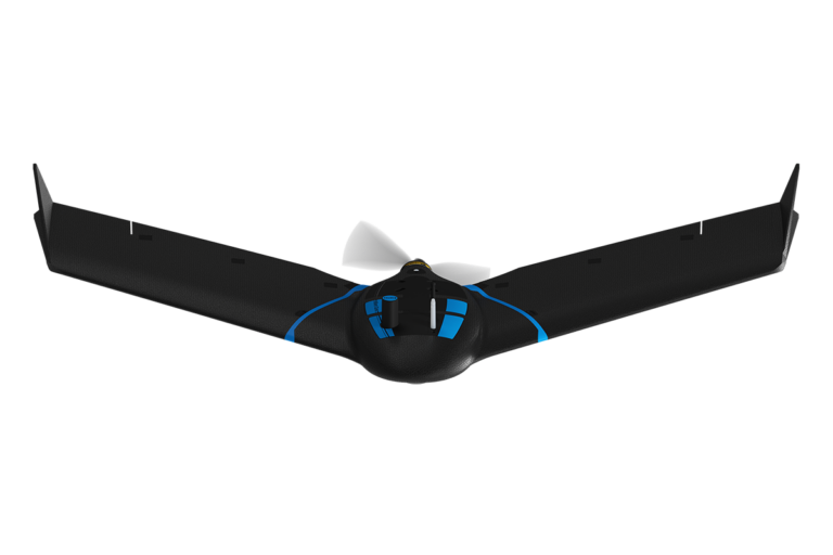
Rugged and intuitive to operate, the eBee Geo makes surveying and mapping faster, safer, and more efficient than terrestrial tools.

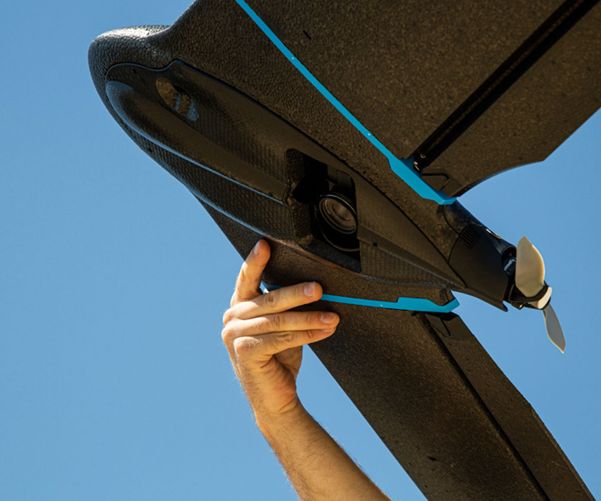
  • 45-minute max flight time
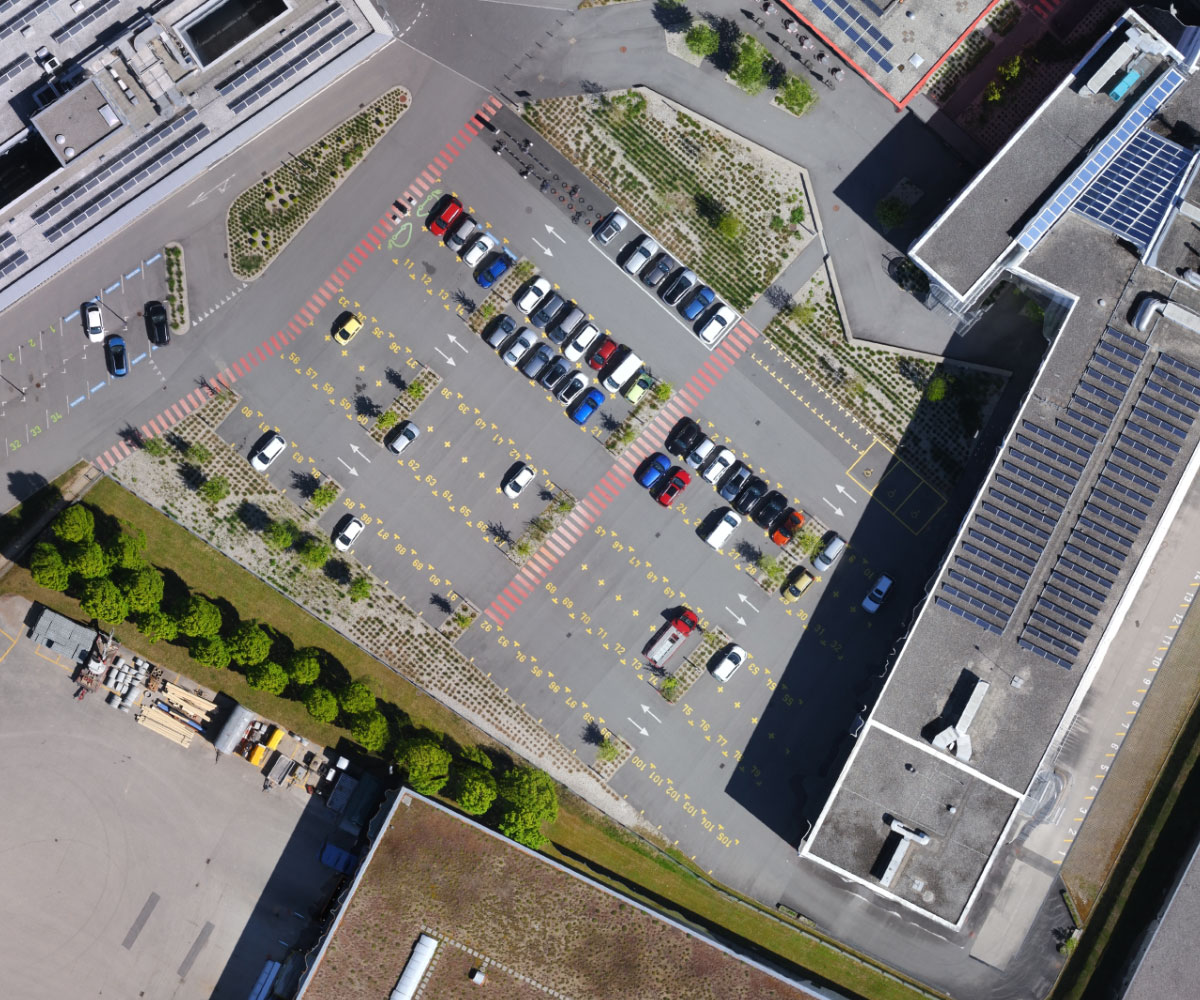
  • Maximum 160 ha / 395 ac at 2.5 cm / 1 in coverage
  • RTK available
  • RGB optimized camera
  • Remote ID approved by the FAA
  • 3 kg / 2.2 lbs. takeoff weight
AgEagle eBee Geo

RGB Optimized Camera

eBee Geo comes with the senseFly S.O.D.A., a photogrammetry camera built for drone applications. It captures sharp aerial images to produce georeferenced orthomosaics, digital surface models (DSM), and point clouds.

SPEAK WITH AN EXPERT
AgEagle eBee Geo RGB Camera

Optimize Your Surveying & Mapping Operations

AgEagle eBee-Geo-Lifestyle-Accuracy

5 cm / 1 in Absolute Accuracy: Available RTK allows you to achieve the high precision accuracy your project requires, down to 2.5 cm / 1 in without GCPs.

AgEagle eBee Geo

3 kg / 2.2 lbs. Takeoff Weight: eBee Geo users benefit from operational regulation advantages not available to heavier drones above 2 kg / 4.4 lbs. It also has remote ID approved by the FAA.

AgEagle eBee Geo flight

45-Minute Max Flight Time: eBee Geo can cover an area up to 160 ha / 395 ac while flying at 120 m / 400 ft.

PLATFORMS

SENSORS

SOFTWARE

ACCESSORIES

SERVICES

SPEAK WITH AN EXPERT

Contact us to meet with a member of the Drone Nerd’s team to discuss the right solution for you.