DJI Zenmuse H20 & H30 Series
DJI Payloads & Sensors
DJI OFFERS A WIDE VARIETY OF PAYLOADS AND SENSORS TO ELEVATE YOUR OPERATIONS.
Thermal
Identify, measure, and visualize heat patterns, to inspect or track objects and sources, even in low-light conditions.
Gas Detection
See the unseen with payloads that detect leaks of harmful chemicals and gases, like methane and other hydrocarbon compounds.
LiDAR
Select from LiDAR capable payloads to aid in autonomous flight, topographical mapping, and more.
Ultra HD
Capture high-quality images with a wide selection of UHD 4K+ camera and gimbal units.
THERMAL PAYLOADS & SENSORS BY DJI
DJI, the world’s leader in gimbal stabilization for aerial photography, video recording and thermal imaging, offers Zenmuse cameras that mount seamlessly to its professional-grade Matrice or Inspire quadcopters, depending on the camera model. DJI makes payloads that can display thermal data, juxtapose images, superimpose full-color video and stills atop thermal images, or zoom in for details on remote subjects.
WHO BENEFITS FROM AERIAL THERMAL IMAGING CAMERAS
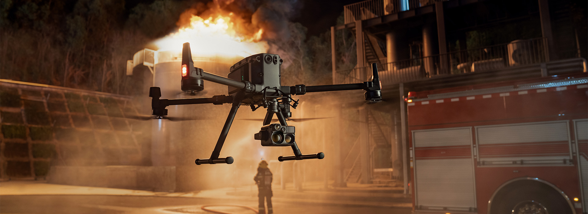
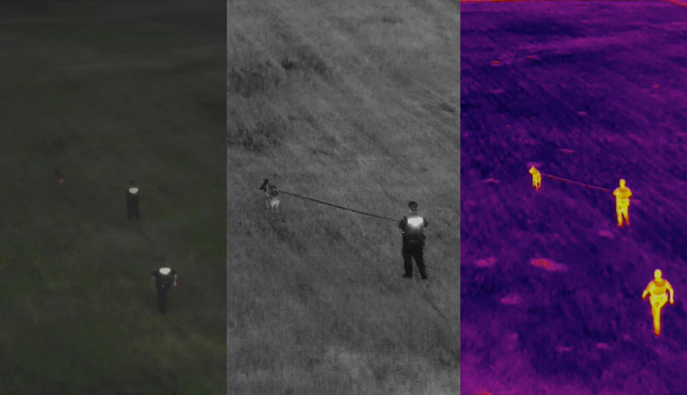
When the heat is on, the DJI Zenmuse Thermal cameras are on the job. They detect and record heat signatures from crops, people, fire, buildings, and electrical equipment. This is made possible by the digital adjustments to display heat differences and patterns so you can work based on the measurements they gather. Integrated with class-leading DJI platforms, Zenmuse thermal cameras are at work on farms, construction sites, mining sites, around hard-to-access infrastructure, search-and-rescue operations, prisons and fire scenes.
- First Responders
- Security
- Inspection Companies
- Insurance Adjusters
- Agriculture Researchers
- Agronomists
- Utility Inspections
- Infrastructure
- Surveyors
- Mining
- Tower Inspections (Cell, Power)
- Wind Turbine Inspections
- Solar Panel Inspections
THERMAL PAYLOAD ADVANTAGES
Crop mapping from thermal-imaging drones takes a fraction of the time and money that helicopters or satellites require.
Engineers, surveyors, developers and mine operators build accurate maps and take precise measurements faster than with ground crews.
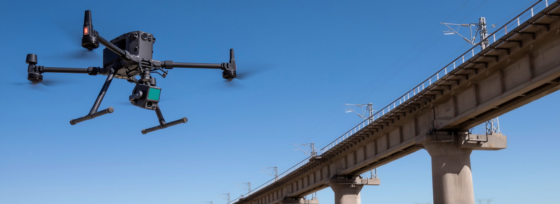
Ground-based personnel use thermal sensors to effortlessly conduct inspections on power lines, solar panels, pipelines, cell towers, bridges, and railroad system.
Drone-mounted thermal cameras can assist with search and rescue efforts, locating wildlife, surveillance, hot spots in burning buildings and more.
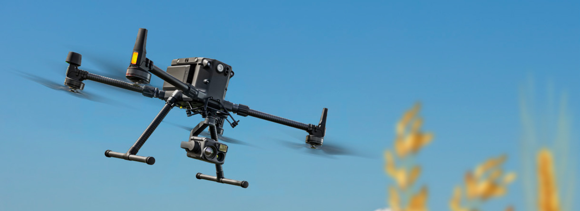
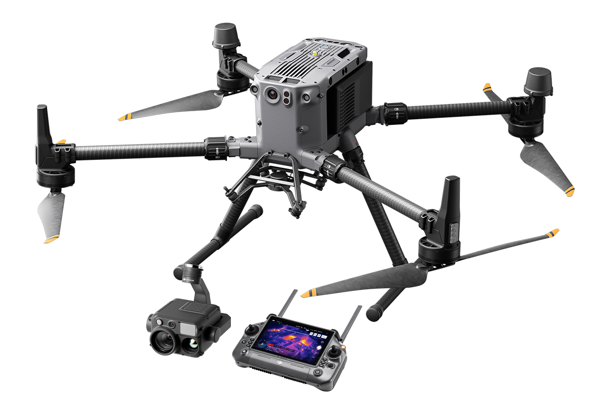
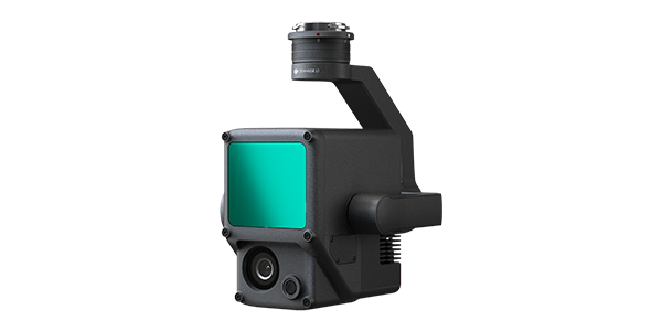
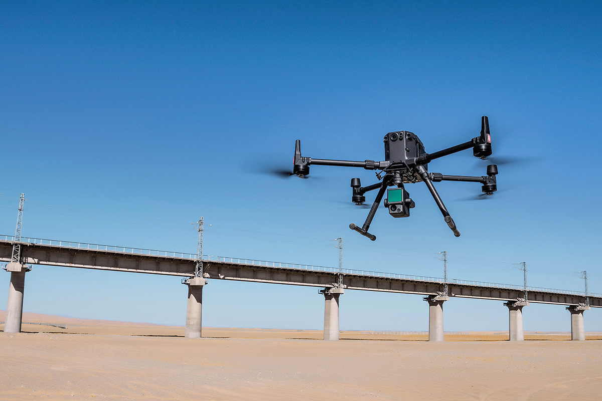
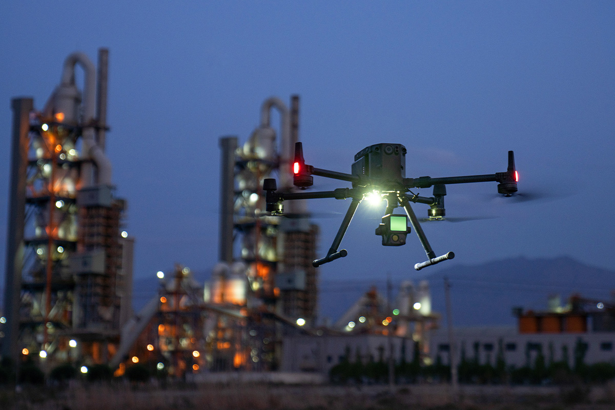
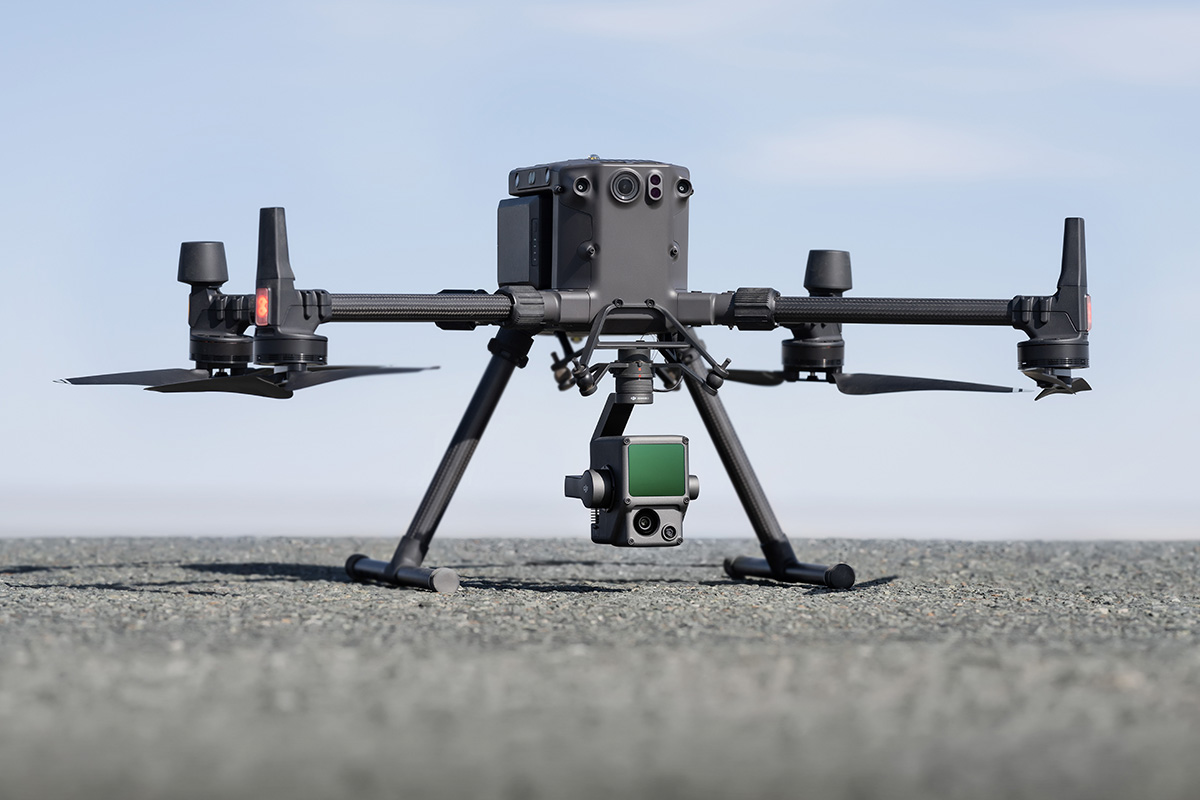
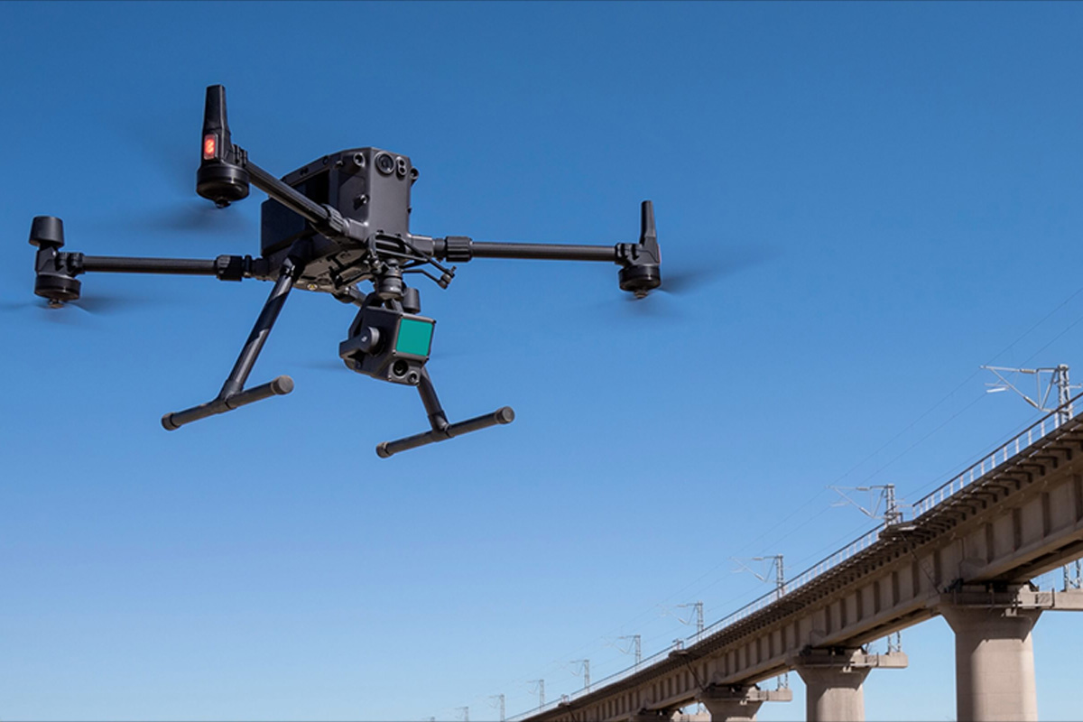
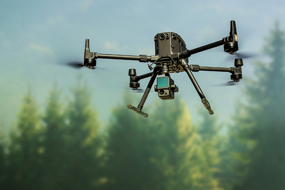
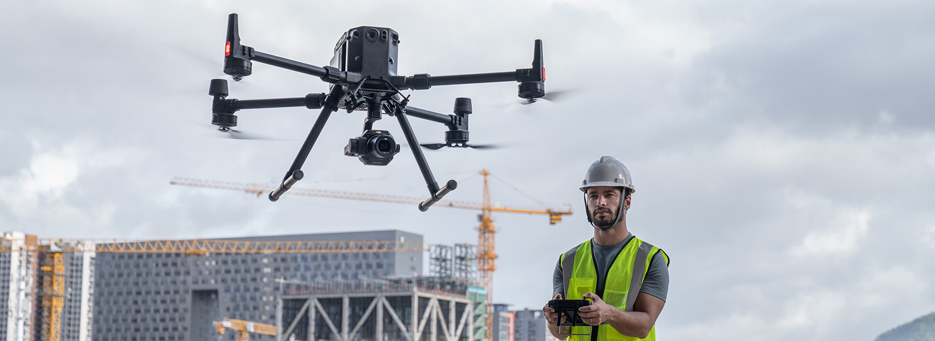
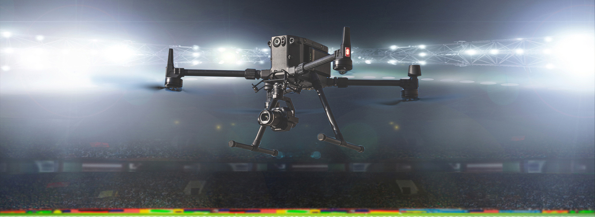
ZENMUSE H20 and H30 SERIES
All the Sensors You Need – In One
Multi-sensor payloads bring a whole new meaning to mission efficiency. The unique intelligence and integrated design provide unprecedented aerial imaging capabilities for a range of commercial drone applications.
Capture everything, whether it’s up close or from a distance, in true living color or thermal. An integrated laser rangefinder (LRF) measures the distance to an object up to 1200 m away. A powerful, integrated payload that unleashes advanced intelligent capabilities for DJI’s industrial drone platforms.
AREAS OF APPLICATIONS
AREAS OF APPLICATIONS
Multi-Payload Sensor
See the full picture without missing any details wherever, whenever your mission takes place.
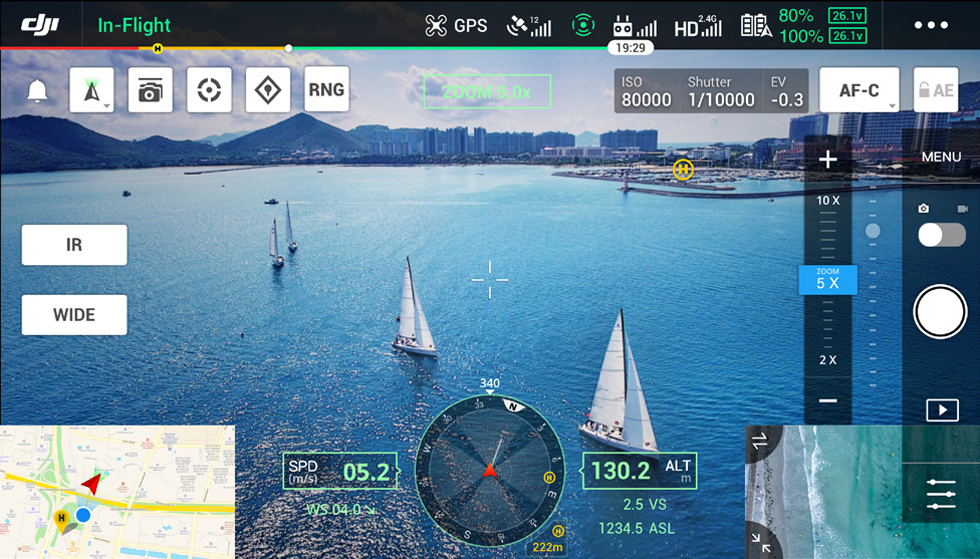
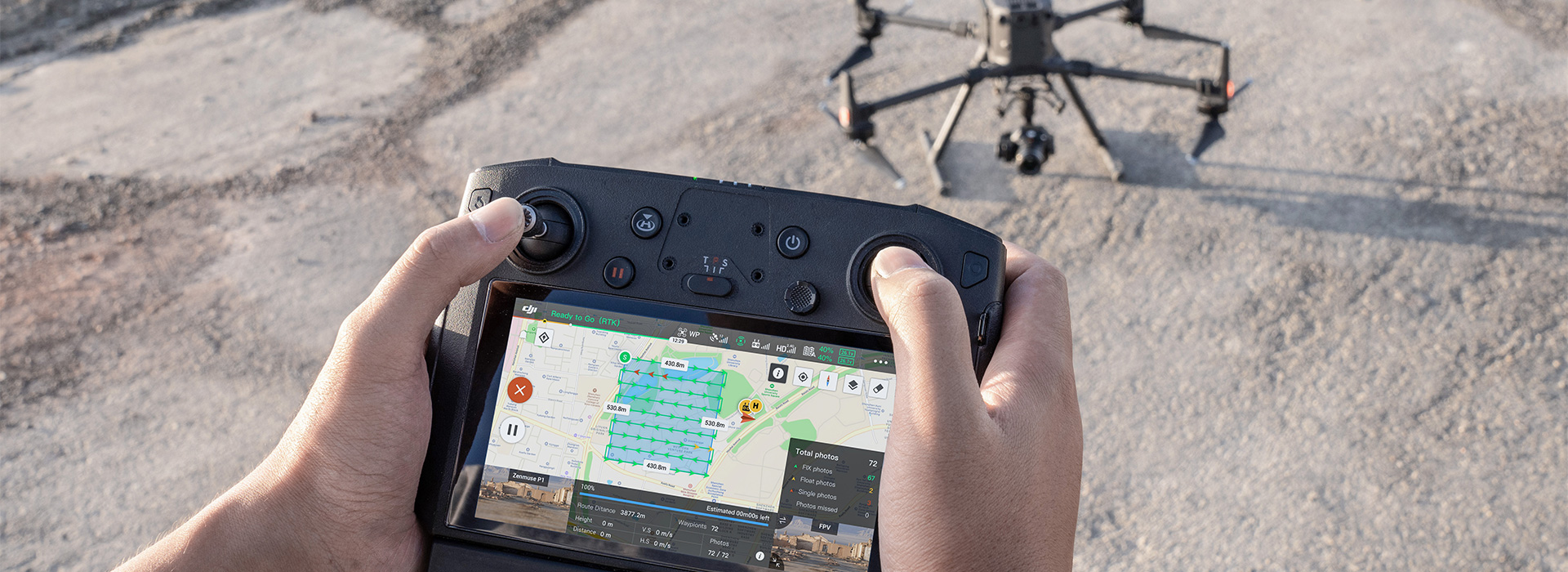
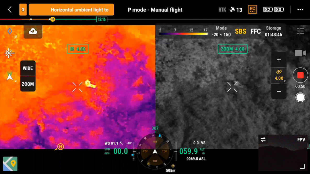
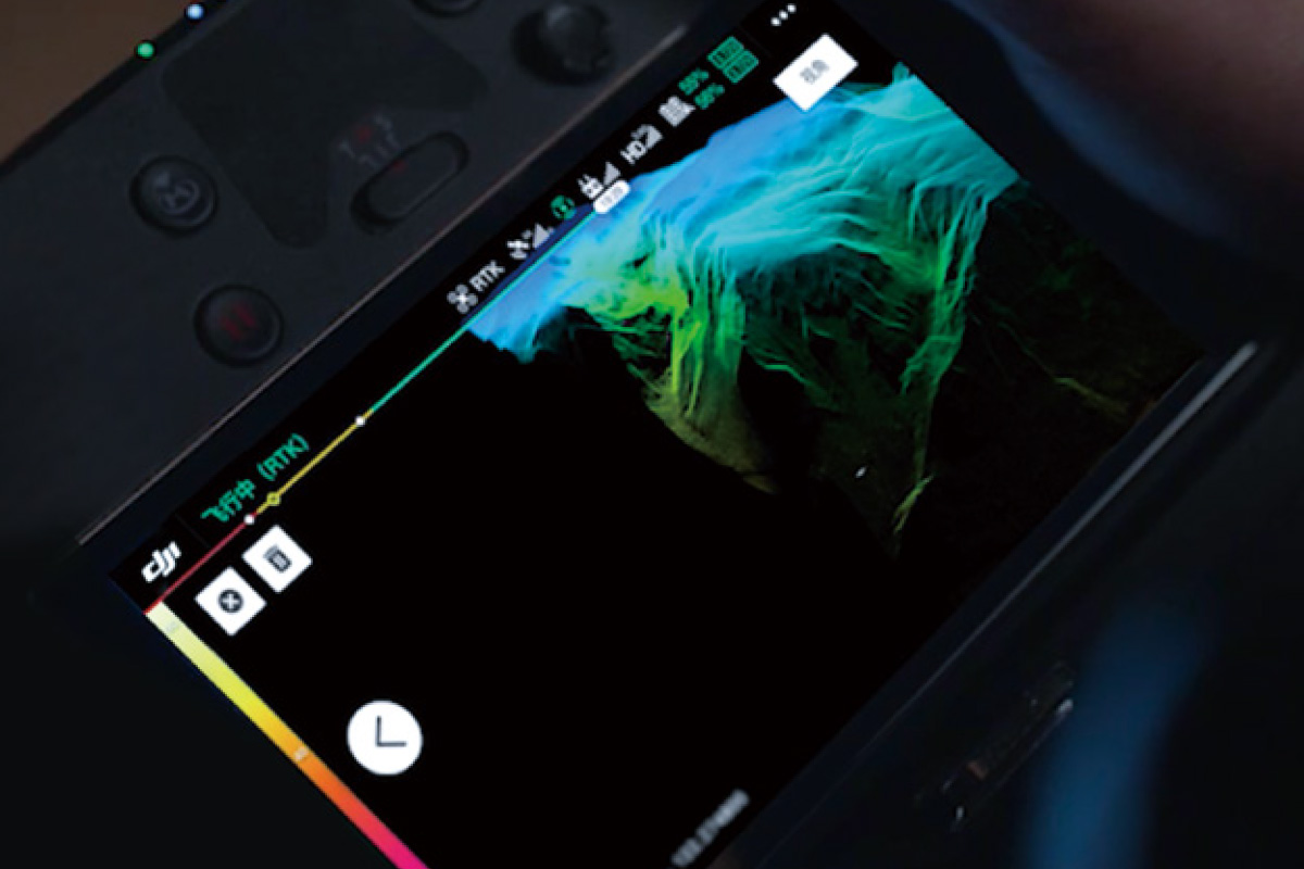
Seamless User Interface
A new integrated user interface lets you quickly switch between wide, zoom, and thermal camera views, and preview the zoom FOV while in wide or thermal camera view.
Collect Data with AI Spot-Check & High-Res Grid Photo
Automate inspections with AI for consistent results. The AI identifies pre-marked subjects, ensuring accurate framing. A wide camera frames the area, while a zoom camera captures detailed 20 MP images, stored with an overview for detailed review.
UNLOCK NEW POSSIBILITIES IN AERIAL SURVEYING WITH THE NEW DJI ZENMUSE L2
Zenmuse L2 integrates frame LiDAR, a self-developed high-accuracy IMU system, and a 4/3 CMOS RGB mapping camera, providing DJI flight platforms with more precise, efficient, and reliable geospatial data acquisition. When used with DJI Terra, it delivers a turnkey solution for 3D data collection and high-accuracy post-processing.

High Precision
Vertical Accuracy: 4 cm;
Horizontal Accuracy: 5 cm
Exceptional Efficiency
2.5 km2 covered in a single flight
Superior Penetration
Smaller laser spots, denser point clouds
Detection Range
250m @10% reflectivity, 100klx
450m @50% reflectivity, 0klx
5 Returns
Turnkey Solution
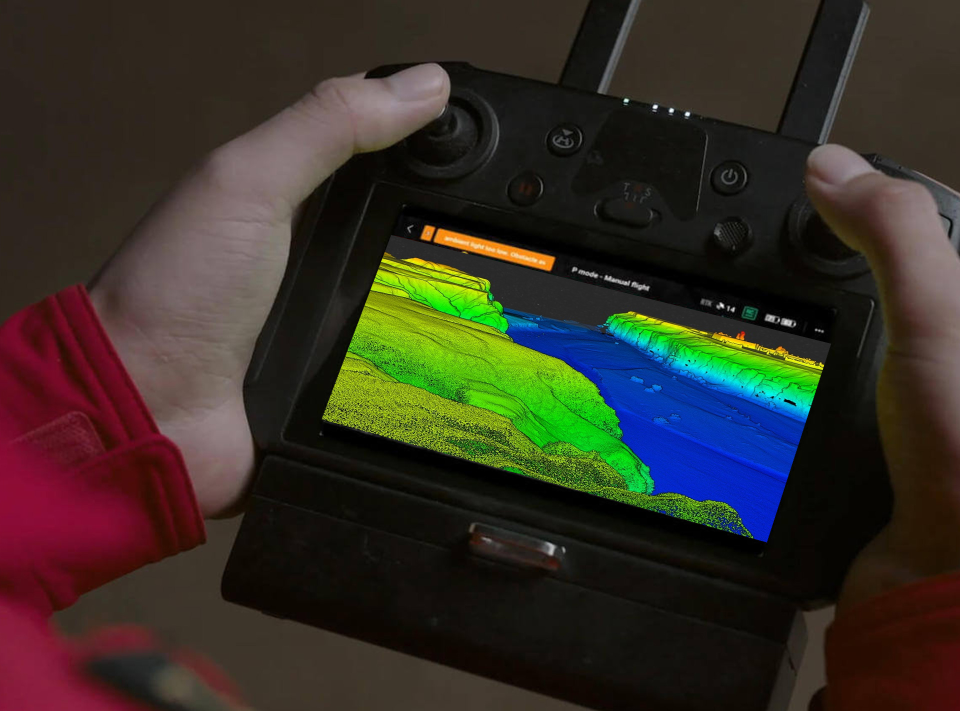
Point Cloud LiveView
One-Click Processing on DJI Terra
INTEGRATED LiDAR SOLUTION
Supported by its powerful hardware, L2 can allow for a precise scan of complex subjects within an extended range and faster point cloud acquisition. During operations, users can preview, playback, and process point cloud models on-site, with Task Quality Reports generated by DJI Terra, offering a simple, one-stop solution to improve overall efficiency.
HIGH-ACCURACY IMU SYSTEM
The high-accuracy self-developed IMU system, combined with the drone’s RTK positioning system for data fusion during post-processing, gives L2 access to highly accurate absolute position, speed, and altitude information. In addition, the IMU system’s enhanced environmental adaptability improves the operational reliability and precision of L2.
APPLICATION SCENERIOS
In coordination with DJI Enterprise flight platforms and DJI Terra, Zenmuse L2 can be applied to land surveying and mapping, energy, forestry, and infrastructure management, as well as other applications.
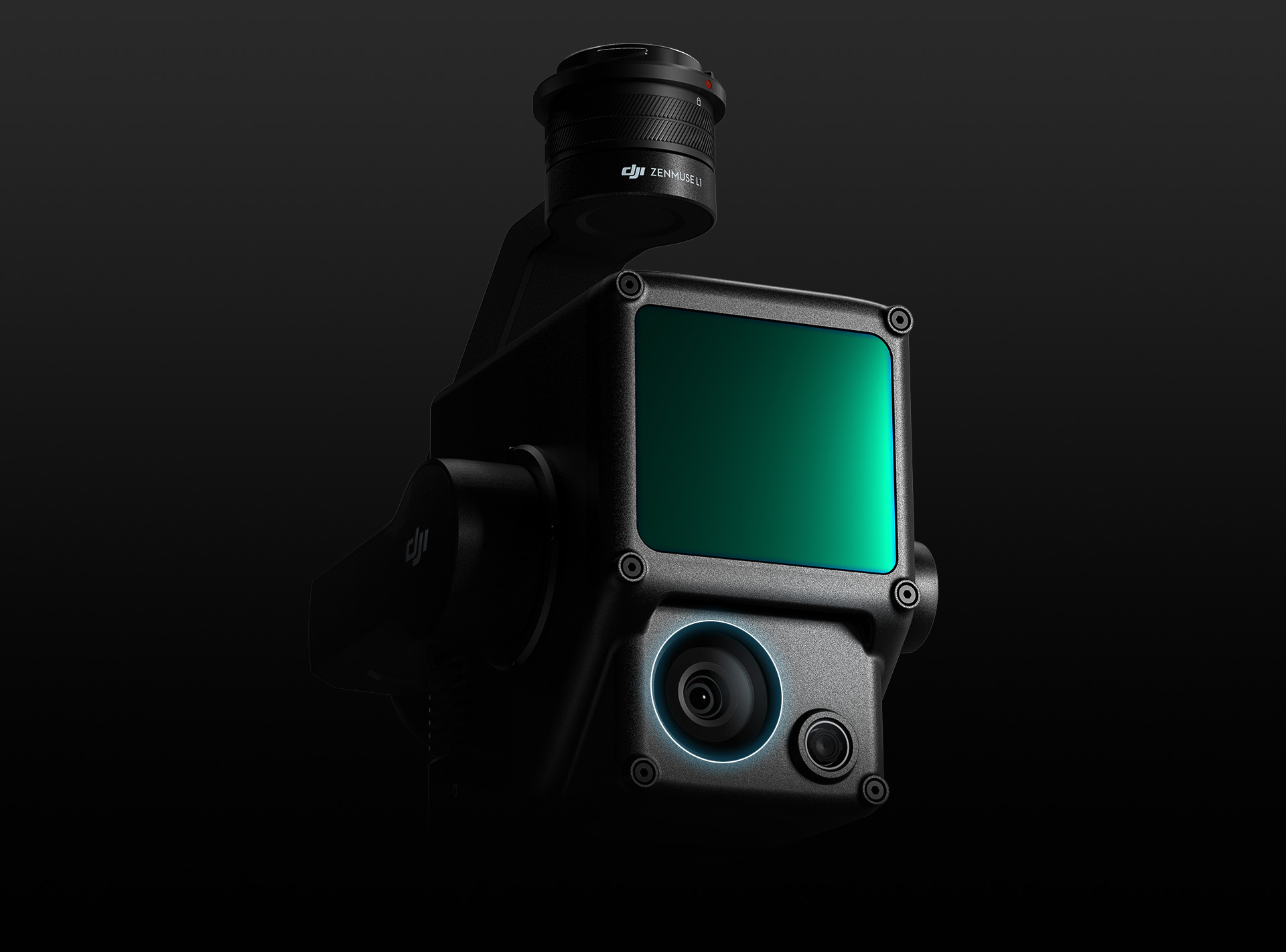
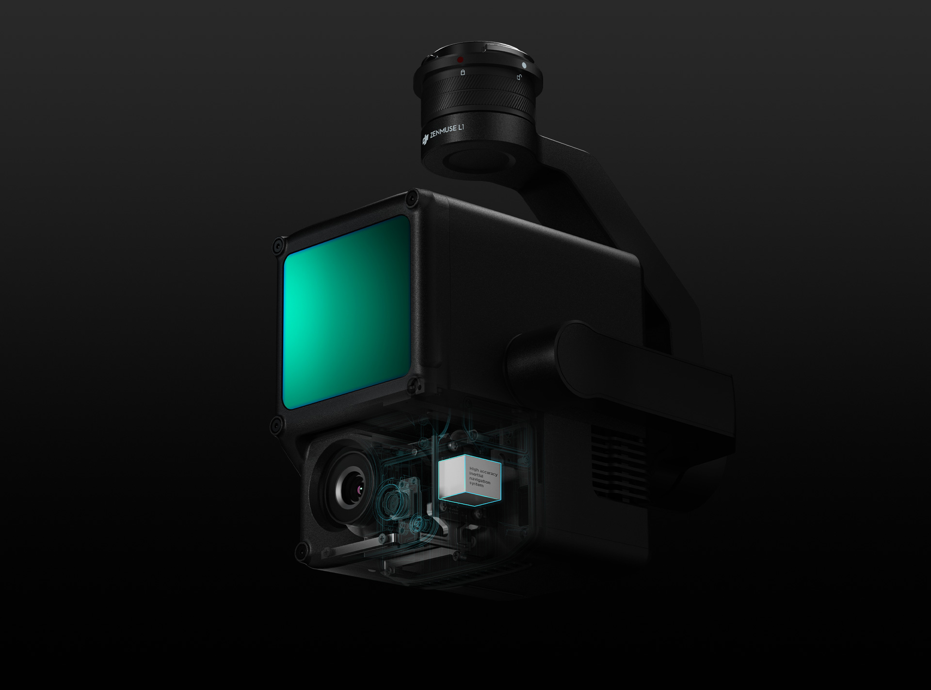
LiDAR CAPABILITIES DELIVERED BY DJI Zenmuse L1
The Zenmuse L1 integrates a Livox Lidar module, a high-accuracy IMU, and a camera with a 1-inch CMOS on a 3-axis stabilized gimbal. When used with Matrice 350 RTK and DJI Terra, the L1 forms a complete solution that gives you real-time 3D data throughout the day, efficiently capturing the details of complex structures and delivering highly accurate reconstructed models. Ultimately the DJI Zenmuse L1 offers many advantages to organizations, including:
Topographic Mapping
Quickly generate topographic maps using accurate digital elevation models.
AEC & Surveying
Manage the full project lifecycle using highly accurate point clouds and 3D models.
Emergency Response
Any time of the day, gather critical insights in real-time using true-color point clouds.
Law Enforcement
Gain situational awareness and forensic intel in real-time to make informed decisions on site.
Infrastructure
Model sparse or complex structures in detail to manage them efficiently and safely.
Forest Management
Gain insight into vegetation density, area, stock volume, canopy width, and growth trends.
DJI ZENMUSE L1 OVERVIEW
Exceptional Efficiency. Unparalleled Accuracy. Ready When You Are.
VISUALIZE DATA AS YOU FLY
- Frame Lidar with up to 100% effective point cloud results
- Detection Range: 450m (80% reflectivity, 0 klx) / 190 m (10% reflectivity, 100 klx)
- Effective Point Rate: 240,000 pts/s
- Supports 3 Returns [3]
- Line Scan Mode and Non-repetitive Scan Mode
RGB CAMERA
- Everything in View
- 20MP
- 1-inch CMOS
- Mechanical Shutter
HIGH-ACCURACY IMU
- Accurate Details at Your Disposal
- Accuracy: 0.025° (roll/pitch) / 0.08° (yaw)
- Vision Sensor for Positioning Accuracy
- GNSS, IMU, RGB Data Fusion
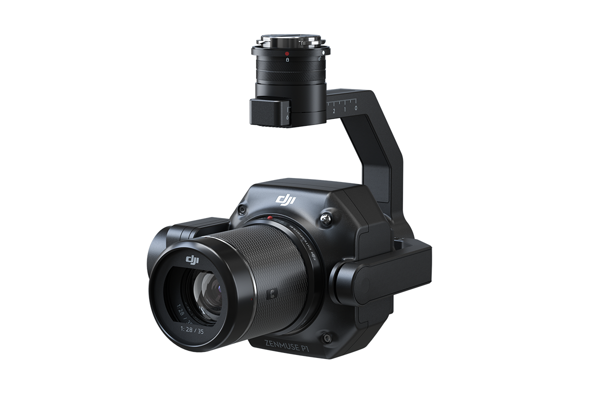
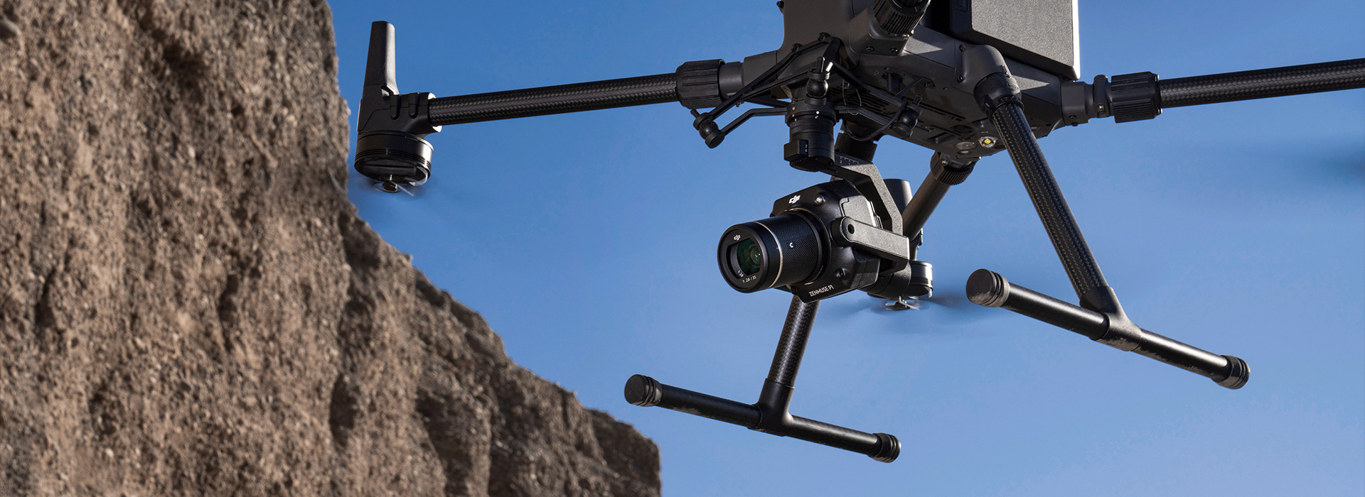
ULTRA HD CAPABILITIES DELIVERED BY DJI ZENMUSE P1
The Zenmuse P1 integrates a full-frame sensor with interchangeable fixed-focus lenses on a 3-axis stabilized gimbal. Designed for photogrammetry flight missions, it takes efficiency and accuracy to a whole new level.
WHO BENEFITS FROM ULTRA HD CAMERAS
DJI is the world leader and manufacturer of ultra hd cameras for UAV's in the drone industry, all equipped with a 3-axis gimbal and high resolution sensors. With interchangeable platform compatibility ranging from the Inspire series to the Matrice series, these cameras are able to fulfill any need the user is looking for, no matter the industry.
- Feature filmmakers
- Documentary filmmakers
- Commercial/infomercial producers
- Surveyors and mapmakers
- Real estate developers and brokers
- Commercial builders
- Business communications departments producing instructional videos, publicity videos
- Academic institutions
- Broadcast news departments
- Sports teams, both professional and intercollegiate
- Travel agencies
- Vloggers and serious website producers
HD options from Zenmuse can produce aerial video with the clarity of Hollywood productions and with the control filmmakers need.
Coupled with appropriate software, ultra HD imagery results in maps that are so accurate, they account for the curvature of the Earth.
Commercial messaging and instructional video require professional-looking, detailed video of unquestioned clarity.
Stop a spinning curveball, a speeding car, or a racehorse’s steamy breath as he crosses a rainy finish line.
DJI ZENMUSE P1 OVERVIEW
Efficiency through Flexible Full-frame Photogrammetry
THE NEW BENCHMARK FOR AERIAL SURVEYING
- 45MP Full-frame Sensor
- 4.4μm Pixel Size
- Low-noise, high sensitivity imaging extends daily operational time
- Take a photo every 0.7 s during the flight
- TimeSync 2.0 aligns the camera, flight controller, RTK module, and gimbal at the microsecond level


MULTIPLE FIXED-FOCUSED LENS OPTIONS
Flexibility to Capture It All
- Global Mechanical Shutter, Shutter Speed 1/2000 Seconds
- Sends the median exposure pulse in microseconds
- Supports 24/35/50mm lenses with DJI DL mounts