As projects grow in scale and complexity, construction and inspection professionals face mounting challenges in maintaining accuracy, safety, and efficiency. Precision data collection and real-time insights have become essential to keeping operations on track. The DJI Zenmuse L3 redefines what’s possible by delivering survey-grade accuracy and rich visual detail through advanced LiDAR imaging technology.

Zenmuse L3 Upgrades That Redefine Enterprise LiDAR Standards
The DJI Zenmuse L3 builds on the strong foundation of the Zenmuse L2, delivering measurable improvements in range, accuracy, and optical performance. While both are professional-grade payloads for mapping and inspection, the L3 offers enterprise users a higher standard of precision and efficiency.
- Extended Detection Range: The Zenmuse L3 can detect objects with 10% reflectivity at up to 950 meters, compared to the L2’s 250 meters under similar conditions. This expanded range allows teams to map larger areas in fewer flights.
- Improved Accuracy: At a flight altitude of 120 meters, the L3 achieves 3 cm vertical and 4 cm horizontal accuracy, outperforming the L2’s 4 cm and 5 cm accuracy at 150 meters.
- Refined Optics: The L3 features a 0.25 mrad beam divergence, producing a smaller laser spot (Φ 41 mm at 120 m) for higher point density and greater detail in complex environments.
- Optimized Performance: With its enhanced range and precision, the L3 delivers faster data capture and more reliable results for large-scale projects, reducing field time and improving overall productivity.
Elevating Enterprise Mapping and Inspection
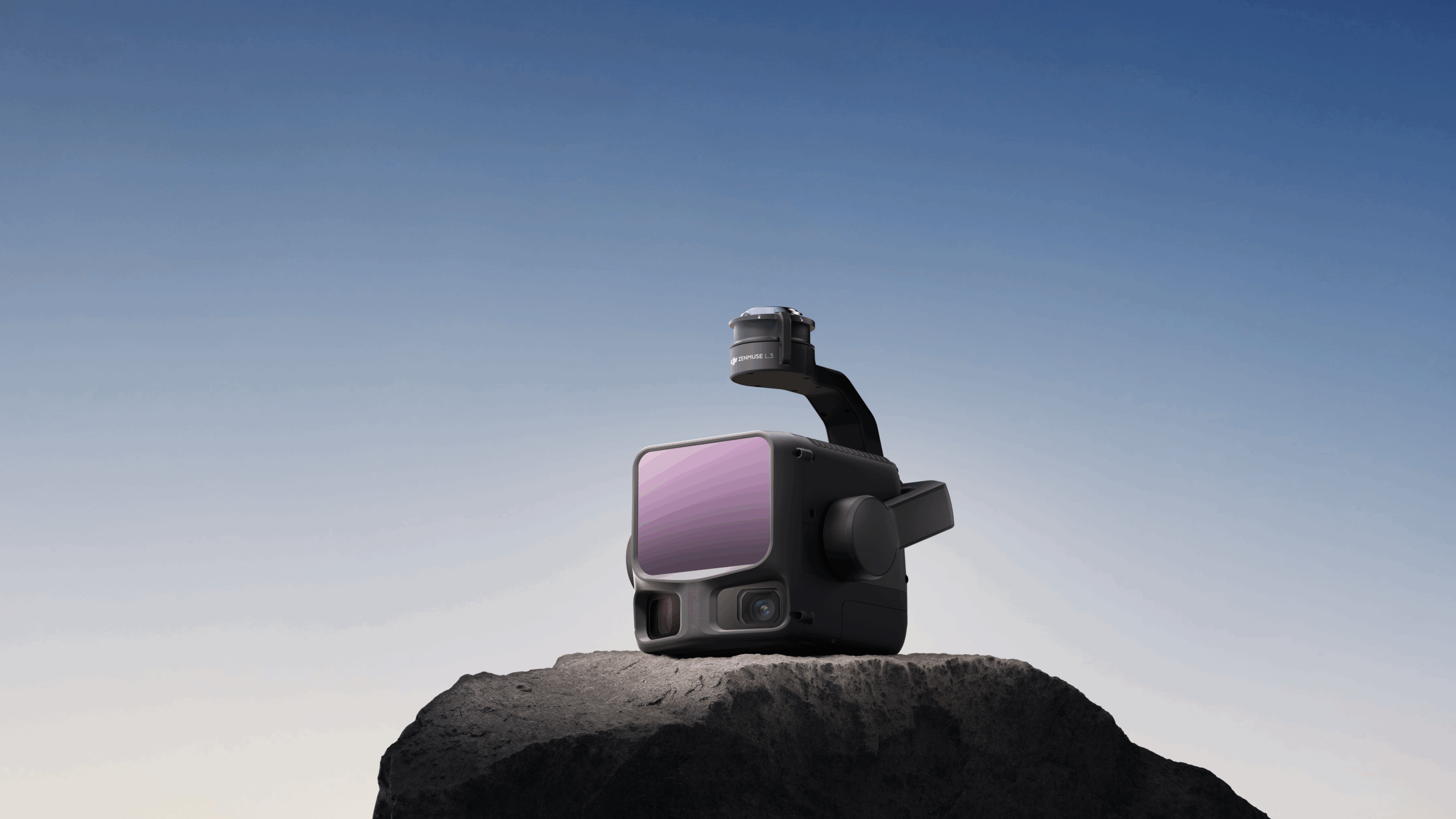
As job sites expand and regulatory pressures intensify, teams require tools that can map vast areas, resolve fine detail and verify results with confidence. The Zenmuse L3 brings together a 1535 nm long-range LiDAR system, a dual 100 MP RGB mapping camera system, and a high-precision POS system to redefine what’s possible in aerial data capture

Built for Scale and Accuracy
Whether you are surveying an earthworks site, inspecting power-line infrastructure or managing a large construction project, the Zenmuse L3 is engineered for enterprise-grade performance. Key capabilities include:
- The integration of LiDAR and dual-camera systems within a compact, rugged frame designed for UAV operations.
- Detection up to 950 m on objects with 10% reflectivity.
- Daily mapping coverage of up to 100 km² under optimal conditions.
Key Features and Benefits
- 1535 nm long-range LiDAR system: Enables extended-reach scanning into challenging environments for more comprehensive terrain and asset data.
- Dual 100 MP RGB mapping cameras: Provide high-resolution imagery alongside LiDAR point clouds for richer visual context and more accurate decision-making.
- Large-area coverage up to 100 km² per day: Reduce revisit frequency, accelerate project timelines and lower operational cost per square kilometre.
- End-to-end DJI enterprise workflow support: Seamless integration with DJI’s data capture and processing ecosystem to streamline the path from flight to result.

Transforming Workflows and Outcomes
With the Zenmuse L3, enterprise professionals gain the ability to capture expansive, high-fidelity aerial datasets in fewer flights, empowering teams to identify risks early, optimize progress tracking and achieve compliance with reduced manual effort. The result is faster delivery, stronger documentation and greater operational confidence.


