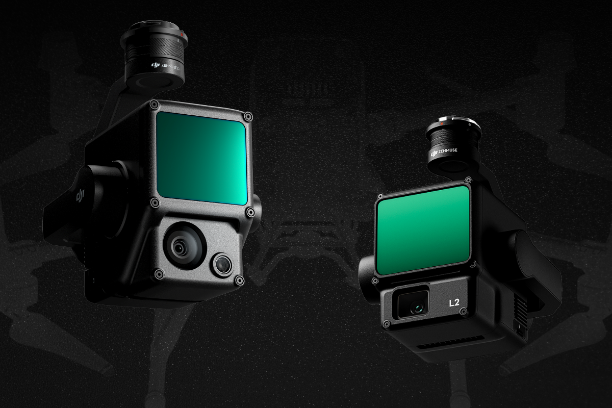
Payloads are the additional equipment attached to UAVs that allow for the customization of standard units. By fitting drones with different payloads, you can adapt your fleet to fit the needs of the designated application. The DJI Zenmuse L1 and L2 represent two generations of LiDAR systems, each with distinct features catering to different user needs. The importance of choosing the right payload lies in tailoring your drone technology to the specific requirements of your projects, optimizing performance, minimizing costs, and ensuring accurate, efficient, and versatile operations in diverse scenarios. Whether you prioritize efficiency, precision, or a combination of both, DJI’s Zenmuse series has a solution that can elevate your aerial surveying.
Choosing Between Zenmuse L1 and L2
Choosing between the Zenmuse L1 and L2 depends on specific project requirements and the desired level of detail in data acquisition. In scenarios where precision needs are met without the necessity for cutting-edge capabilities, the Zenmuse L1 proves valuable.
Here are key considerations:
- Precision Requirements: If standard precision is acceptable, the Zenmuse L1 may suffice. However, if your project demands higher accuracy, especially in challenging terrains, the Zenmuse L2’s enhanced precision of 4 cm vertical and 5 cm horizontal accuracy becomes a critical factor.
- Operational Efficiency: Evaluate the operational efficiency required for your tasks. The Zenmuse L2 offers improvements in detection range, point cloud emission rate, and overall efficiency. If your project involves large-scale data acquisition or detailed inspections, the enhanced operational capabilities of the L2 may be advantageous.
- Detection Range and Safety: Assess the detection range needed for your applications. The Zenmuse L2 has a 30% increase in detection range compared to the L1. If your projects involve tasks at extended distances or in challenging environments where safety is paramount, the L2’s capabilities are a better fit.
- Point Cloud Density and Detail: Consider the level of detail required in your point clouds, especially in scenarios with dense vegetation or the need to capture smaller objects. The Zenmuse L2, with its smaller laser spots, support for five returns, and improved RGB mapping camera, excels in capturing finer details and denser point clouds compared to the L1.
- Cost Considerations: Evaluate your budget constraints and the cost-effectiveness of each solution. While the Zenmuse L2 offers advanced features, it comes at a higher cost. If your project requirements align with the capabilities of the L1, and budget is a significant consideration, the L1 may provide a cost-effective solution without compromising on essential functionalities.
The Comparison
| Feature | Zenmuse L1 | Zenmuse L2 |
| Integration | Lidar module, RGB camera, high-accuracy IMU | Frame LiDAR, self-developed high-accuracy IMU, RGB camera |
| Coverage in Single Flight | 2 km² | 2.5 km² |
| Vertical Accuracy | 5 cm | 4 cm |
| Horizontal Accuracy | 10 cm | 5 cm |
| Point Rate | 240,000 pts/s | 240,000 pts/s |
| Returns | 3 Returns | 5 Returns |
| Detection Range | 450 m (80% reflectivity, 0 klx)/ 190 m (10% reflectivity, 100 klx) | 250m @10% reflectivity, 100klx / 450m @50% reflectivity, 0klx |
| Ingress Protection Level | IP54 | Not specified |
| Point Cloud LiveView | Yes | Yes |
| Application Scenarios | Topographic Mapping, AEC and Surveying, Emergency Response, Law Enforcement, Energy and Infrastructure, Agriculture and Forestry Management | Land Surveying and Mapping, Electricity Management, Forestry Management, Infrastructure Management |
| Frame-based LiDAR | No | Yes (30% Detection Range Increase) |
| Smaller Laser Spots | No | Yes (4×12 cm @100m) |
| Supports 5 Returns | No | Yes |
| Effective Point Cloud Rate | 240,000 pts/s | 240,000 pts/s |
| Scanning Modes | Non-repetitive scanning pattern, Repetitive scanning pattern | Repetitive scanning mode, Non-repetitive scanning mode |
| IMU System Accuracy | Vision Sensor for Positioning Accuracy, GNSS, IMU, RGB Data Fusion | Improved Accuracy, Yaw Accuracy (Real-time: 0.2°, post-processing: 0.05°), Pitch/Roll Accuracy (Real-time 0.05°, post-processing 0.025°), No IMU Warm-up |
| RGB Mapping Camera | 20MP, 1-inch CMOS, Mechanical Shutter | 4/3 CMOS, Mechanical Shutter (20 MP, pixel size: 3.3 μm) |
| Operational Experience | Point Cloud LiveView, One-stop Post-processing with DJI Terra | Diverse Flight Route Types, Point Cloud LiveView, One-Click Processing on DJI Terra |
| Application Scenarios | Topographic Mapping, AEC and Surveying, Emergency Response, Law Enforcement, Energy and Infrastructure, Agriculture and Forestry Management | Land Surveying and Mapping, Electricity Management, Forestry Management, Infrastructure Management |
For those prioritizing cost-effectiveness without compromising essential functionalities, the Zenmuse L1 stands as a reliable solution. Its standard precision and efficient operational capabilities make it a valuable choice for projects that don’t require a high level of precision details. On the other hand, the Zenmuse L2 steps up the game with enhanced precision, extended detection range, and improved point cloud density. This makes it an ideal choice for projects demanding top-notch accuracy, efficiency in challenging terrains, and the ability to capture finer details in dense or complex environments. With the right payload choice, you can ensure the success of your projects, harnessing the full potential of drone technology in a positive and efficient manner.
Need help selecting the right fit for your organization? We’ve got you covered—connect with our experts here.


