According to the United Nations, about 68% of the world’s population will reside in urban areas by 2050; this demonstrates the importance of proper urban planning as cities grow in size and population. Growth drivers for cities include the need for better employment opportunities, social services, and access to better education. But what does this have to do with drones? Urban planning and mapping require proper planning and precision in resource allocation to ensure the fast and safe development of critical infrastructure. Because of the high cost of development and construction, ensuring the right mapping and surveying is critical to avoid budgetary waste. Drones are an ideal solution for many problems that come up such as geospatial mapping of terrain, and identifying and checking up on flaws in construction; according to a European Commission study, it was shown that drones provided up to 90% in time-saving when used in urban planning applications. As it gets easier and easier to use and obtain drones, their utility for city planning is only going to increase with the demand for cities.
Benefits of Drones in Urban Planning
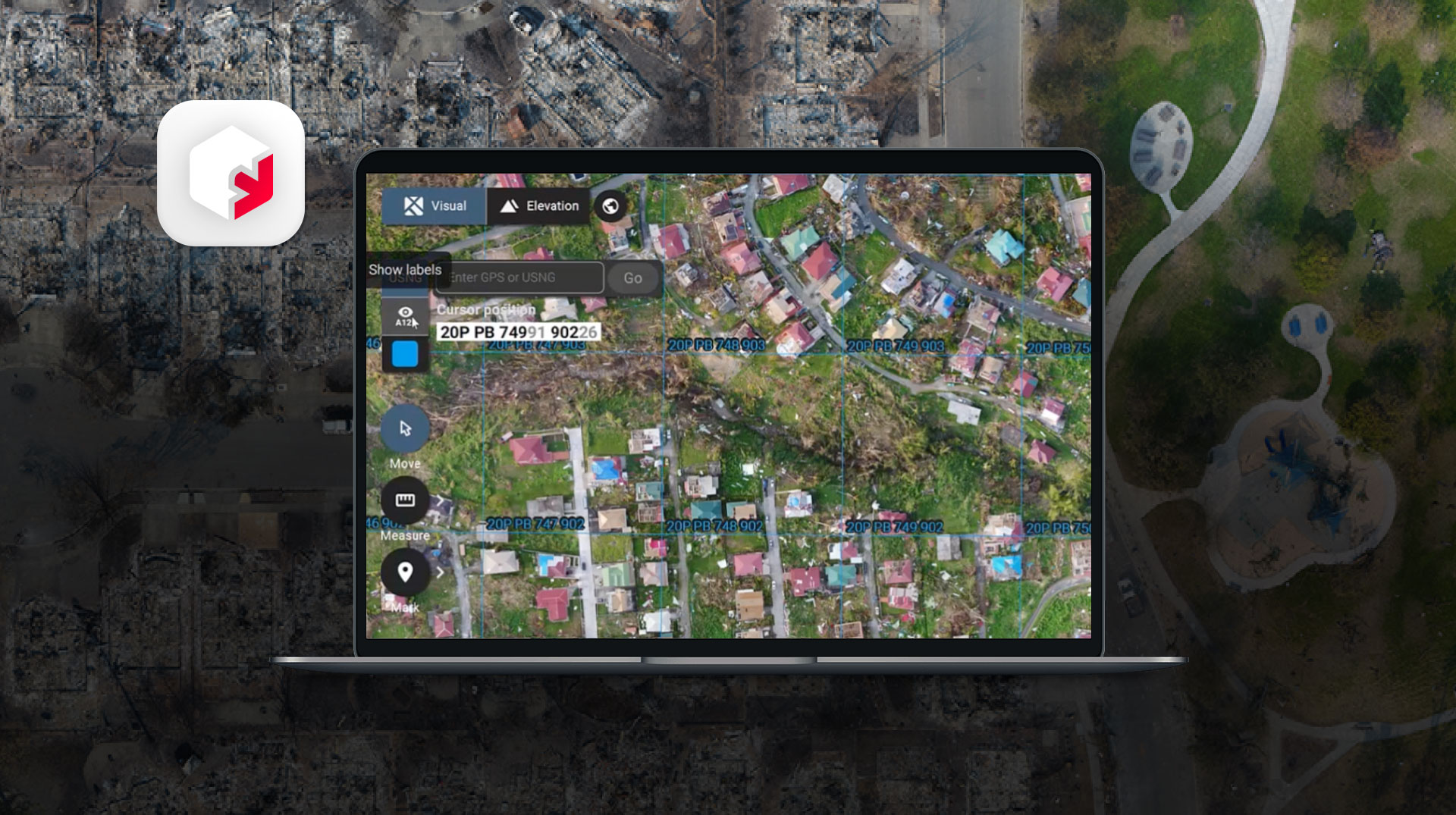
Drones provide an immense benefit in urban planning by providing an aerial view from multiple vantage points, here’s how:
- Drone aerial photography helps maintain a visual distinction of urban and rural areas for planners, ensuring expansion occurs sustainably.
- Drones help ensure that new infrastructure developments do not clash with previously existing areas. This is important when building bridges or overpasses since drones allow for efficient analysis of traffic in such areas and mitigating accidents and buildups. These photographs combined with 3D modeling software can create constant and accurate models.
- Land surveying in urban planning is traditionally done using ground-based devices in the field which operate mechanically or optically. Drones have removed the need for this to a large extent, as they do the job of multiple connected devices in one. Traditional surveying equipment can cost anywhere between $10,000 and $30,000 while entry-level enterprise drones start at about $5,000. According to a strategy report conducted by PWC, drones can survey construction sites about twenty times faster than land-based land survey teams, significantly improving bottom-lines long-term.
- Geographical and infrastructural forms change with time and hence require regular mapping at intervals. Drones facilitate this by providing a faster route to conduct regular mapping.
- Unmanned Aerial Systems (UAS) provide a non-invasive and accessible way to survey areas that might be environmentally sensitive or hard to reach. This is especially important when developing sustainable and green cities as it allows for mapping and survey of environments before physically moving into them so that constructors and planners can avoid damaging sensitive ecological areas.
As urban populations grow, urban planning and mapping become increasingly crucial. Drones offer unique advantages, providing cost-effective and rapid land surveying compared to traditional methods. Utilizing software like Pix4D, drones generate detailed 3D models of terrain and structures through photogrammetry, aiding tasks such as traffic management and road planning. Coupled with AI or ML, drones efficiently gather and organize data in crowded urban areas, facilitating informed decision-making. By leveraging aerial photography and advanced algorithms, drones help identify and manage urban-rural gaps, preventing unsustainable urban expansion.
Learn more about how drones can help your specific operations by talking to one of our experts.


