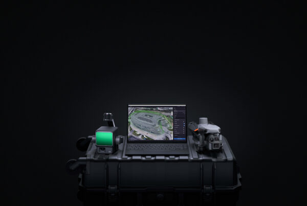
Softwares July 18, 2025 DJI Terra Upgraded: Exploring The Latest in 3D Reconstruction The release of DJI Terra V5.0 marks a major step forward in 3D reconstruction for… Guillermo Pepin 0 Love0
Solutions April 10, 2024 From Pixels to Maps: Understanding the Workflow of Drone-based Photogrammetry When people think of using drones commercially, they often forget about how robust their uses… Guillermo Pepin 0 Love1
Construction March 18, 2024 Surveys and Beyond—Aerial Technology for the Modern Construction Manager Drones are changing the construction industry by providing clarity, improving timelines, and safeguarding environmental areas.… Guillermo Pepin 0 Love1
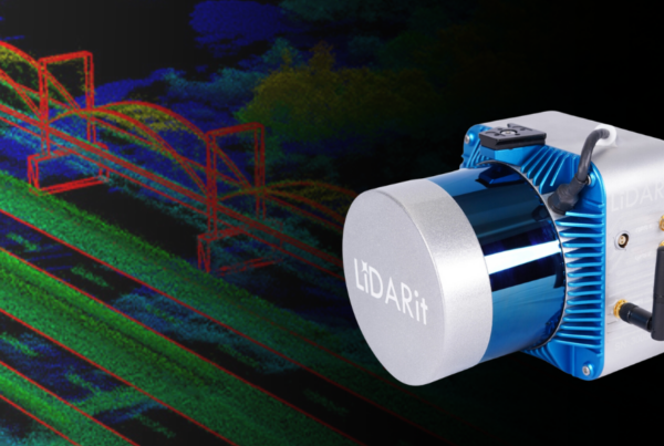
Sensors March 14, 2024 LiDARit— Solutions for Data Visualization LiDAR, short for Light Detection and Ranging, is a remote sensing technology utilizing laser light… Guillermo Pepin 0 Love0