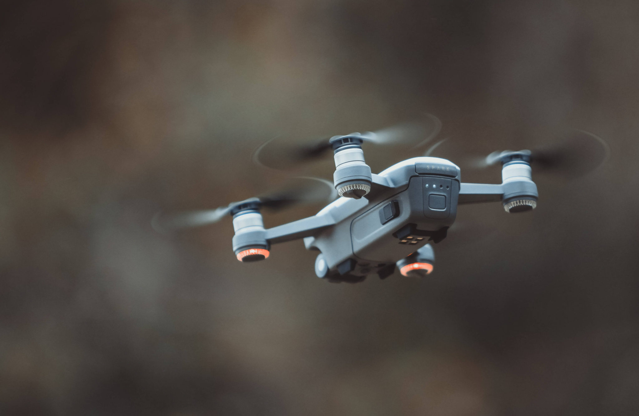
When it comes to your ideal drone, the software is a critical factor. Designed to enhance the effectiveness of your drone, add additional functionalities, and ensure your machinery caters precisely to your needs and priorities, drone software is an essential part of any good UAV program.
The question, then, becomes who you can trust your drone software needs to, and where you can go to get all the accessories you need for your drone program. Luckily, DroneNerds is here to help. The industry-leading expert in all things drone technology, we’re proud to be the one-stop-shop for all your drone needs.
Our Software Selection
When you come to DroneNerds for software, you can trust you’ll find an extensive selection of software to choose from. Here are just a few of the things we offer our customers:
Measure
Measure is a unique drone software that allows commercial operators to control every aspect of their Unmanned Aircraft systems. A comprehensive program management platform, this unique software promotes scaled growth, allows you to manage your fleet intelligently, and makes it simple to accommodate new aircraft without breaking up your current system. Maximize your ROI and make drone flight simple with Measurer.
Dedrone
Dedrone counter-drone software helps airports and other secure facilities maintain the integrity of their airspace. By spotting existing drones that threaten or invade airspace, Dedrone serves the critical purpose of protecting airport workers and passengers and mitigating safety and security risks. Included in the software suite of Dedrone are additional platforms like Drone Tracker, which warns of potential drone presence, and DroneDNA, which gives airspace operator additional information about the make, models, and mode of operation of threatening drones.
DroneDeploy
DroneDeploy is one of our top software, and for a good reason. Offering a highly-precise mapping and imaging function, DroneDeploy turns any compatible drone into a powerful 3D imaging machine. When you install DroneDeploy on your drone, you’ll suddenly get access to 2D maps in real-time, available conversion to 3D, and securer, stored data. It’s a great way to save time, effort, and money.
PIX4D
Pix4D is a robust aerial mapping and 3D modeling software that’s just as economical as it is in-demand. The software works by utilizing GPS data and creating maps from what it interprets. While ground-work crews could provide the same result, Pix4D does it in half the time or less. The software also cuts costs and allows teams to maintain or improve the accuracy of their operations. Check it out here.
The Source for All Your Software Needs
When you need drone software, look no further than DroneNerds. Offering drones, software, accessories, cameras, and mapping tools, and world-class support and customer service, our team goes above and beyond to ensure that your drone operation is as powerful as it can be. Have questions about which software solutions are right for you, or how to select the correct drone for your operation? Give our team a call today. We’re happy to walk you through the process of finding the right option for your operation.


looking for a drone to aid in livestock production prymaraly and crop production secondary