Digital twins are the latest development in the world of immersive technology—especially when it comes to mechanics, engineering, and architecture. They simulate real structures, down to the most minute detail, offering heightened business intelligence. In a world in which data reigns, digital twins help users carry out test scenarios, often using AI and machine learning to help determine the best decision for a particular problem.
There are multiple reasons why organizations have begun leveraging digital twins; they help companies develop better products and processes, enhance efficiency in processes through ongoing improvements, and they provide insight into potential risks associated with a particular strategy or development.
When it comes to research and development, digital twins leverage harvested data that helps organizations develop product improvement before beginning production. In construction, for example, a digital twin captures both the operational and construction aspects of the project and helps during the BIM process for proper material and labor. This can help constructors minimize material loss, and increase margins. Virtual twins of the construction sites can be easily shared with owners, investors, and architects, saving on overall expenses and keeping all stakeholders connected to site progress.
How do drones aid in developing digital twins?
Digital twins are virtual environments that have been recreated through a compilation of data; they often resemble structures with multiple, interconnected sensors, which live, process, and learn within an IoT environment. As soon as sensors capture new information, the digital twin receives it and replicates a copy. The virtual copy of the structure is always up to date with the latest changes that have affected the actual structure.
Drones are versatile equipment—when equipped with different payloads, they can quickly and accurately capture structural data which can then be turned into a digital twin. Traditionally, digital twins are constructed through multiple data sets, with structures designed in CAD or other rendering programs; this can be time-consuming and expensive, especially if an organization doesn’t have the original blueprints. Recreating a blueprint requires contracting surveyors, and conducting manual measurements of a particular building or area.
With a drone, this process is simplified as they capture photogrammetry data— organizations can quickly capture images of structures and surrounding areas and automatically have a clean digital twin of the asset, along with accurate measurements. Essentially, drones give organizations the freedom to capture datasets anywhere.
With customizable payloads, drones can be used to capture specific datasets; for example, a drone can capture high-accuracy dimensions with LiDAR, and thermal camera payloads, like DJI’s Zenmuse H20T, can provide average heat temperature of the surface of the asset—this is particularly useful for solar panel monitoring and inspections.
Getting Started with UAVs to Develop a Digital Twin
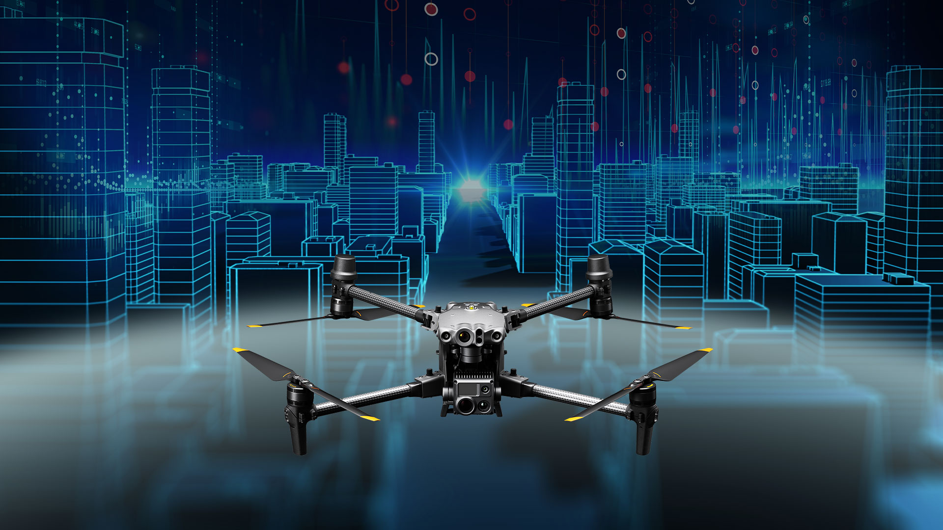
Photogrammetry is essential to developing 3D models for digital twin development. Some of the best drones for capturing crisp, clear imagery are the DJI Mavic 3 Enterprise, DJI Matrice 300 RTK, and the DJI Matrice 30. Each of these drones has increased the speed and accuracy of photogrammetric data collection, making the creation of digital twins much more accessible to organizations.
The Matrice 300 RTK is versatile; with a three-payload gimbal system, you can capture three different types of data at the same time. The DJI Mavic 3 Enterprise, is one of DJI’s latest releases which features a wide-angle 4/3 CMOS, 20MP sensor with a mechanical shutter to prevent motion blur—this is essential for accurate twin development and processing. The DJI Matrice 30 is powerful, portable, and has a 48 MP 1/2” CMOS sensor which can provide photo resolution in 8K.
Once you know which drone suits your organization the best, you can move on to the next step—turning the data into an accurate model. You can achieve this by using software, like DroneDeploy or Pix4D. Each of these systems has powerful features that can quickly process drone data.
While you can contract third parties to capture and process this data for you, having your own drone program can help you maintain more accurate models. By having fully integrated systems connected to your drones, you can keep your digital twin up-to-date with the most relevant information for accurate simulation.
Ready to start optimizing your business with drone technology? Speak to our experts.


 | Drone Nerds Enterprise")