
March 14, 2024
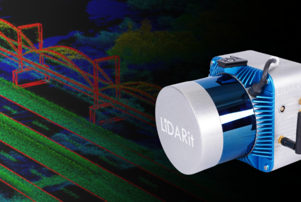
LiDARit— Solutions for Data Visualization
LiDAR, short for Light Detection and Ranging, is a remote sensing technology utilizing laser light…
March 8, 2024
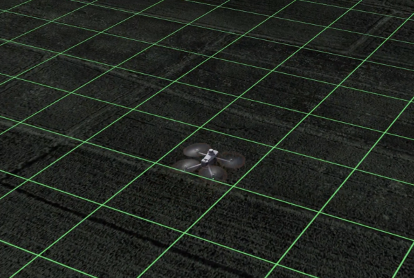
M3M Spotlight: Surveying Power in Agriculture
What if you could do an aerial survey with a drone that sees beyond the…
March 7, 2024
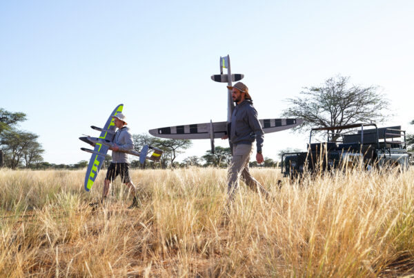
Fixed Wing Vs. Quadcopter: Which to Use When?
With so many different UAV solutions on the market, it's often difficult to determine which…

February 29, 2024
DroneDeploy Ag—A Solution for Growth and Accuracy
DroneDeploy's platform was built for precise mapping and 3D imaging. The software accommodates nearly any…

February 22, 2024
Insurance in the Sky: Drones for Risk Assessment and Claims Processing
The insurance industry increasingly utilizes drones for pre- and post-loss operations, aiming to enhance risk…

February 21, 2024
DJI Dock 2— A New Way to Fly
With advancements in autonomous flight and supportive changes in regulations in favor of BVLOS operations,…
February 14, 2024
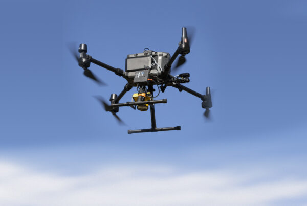
Enhancing Oil and Gas Infrastructure Monitoring with Drones
The challenges in oil and gas infrastructure monitoring are substantial and the vast expanses of…

February 7, 2024
DJI Agras T40— Best Practices for Crop Spraying Operations
Crop spraying is an essential agricultural practice designed to apply pesticides, fertilizers, or other necessary…
February 2, 2024
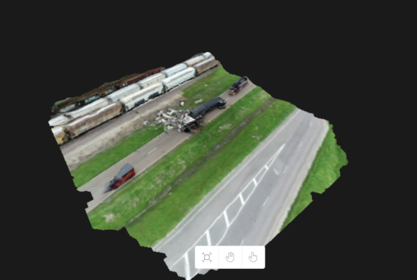
Lightning Fast Reality Capture: SkyBrowse Solutions
Skyebrowse's journey began with a motorcycle accident, an unexpected turn of events that led co-founder…